Methodology
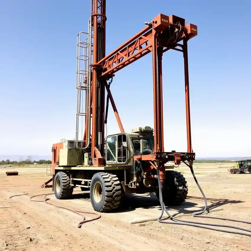
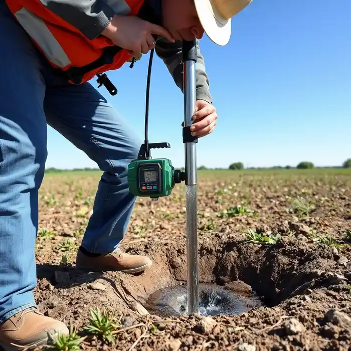
Our general methodology for Denver begins with a comprehensive site evaluation to understand the subsurface conditions. This informs the strategic planning of the drilling operation, where we select techniques—such as rotary or cable tool—appropriate for the expected sequence of unconsolidated materials and bedrock. Precise well construction, including proper casing and screen selection, is critical to ensure well efficiency and longevity while protecting the aquifer. The final step always involves rigorous development and testing to verify sustainable yield, a process detailed in our hydrogeological survey service page.
Reference Technical Parameters
| Parameter | Reference Value |
|---|---|
| Predominant Soil Type | Alluvial Silt, Clay, and Sand over Denver Formation Bedrock |
| Typical Groundwater Level | 20 - 200 ft below surface (highly variable) |
| Bedrock Depth | 50 - 500 ft below surface |
| Maximum Seismic Acceleration (PGA) | 0.2g - 0.3g (Site-Specific) |
| Typical SPT N60 Range in Alluvium | 5 - 30 blows/ft |
Local Considerations — Denver
1. **Geology & Soil:** The Denver area features a top layer of variable alluvium over the claystone and sandstone of the Denver Formation. Understanding this transition is key to drilling efficiency. 2. **Water Table:** Depth to groundwater is highly variable, influenced by proximity to the South Platte River and seasonal precipitation, necessitating thorough pre-drilling assessment. 3. **Seismicity:** While moderate, Denver is in a region with seismic risk, requiring well design and construction to consider potential ground motion. 4. **Neighborhood Contrast:** Well depth and yield can differ significantly between the deeper aquifer systems of the High Plains and the shallower, river-influenced areas near the Platte. 5. **Typical Cases:** A common scenario involves navigating tight clay layers before reaching productive water-bearing sandstone, underscoring the need for experienced drillers.
Request a Quote
Our team reviews your project and issues an initial report at no cost.
Or write us directly at [email protected]
Services in Denver
Locations covered in Denver
Applicable Standards
- Colorado Water Law and Doctrine of Prior Appropriation
- Colorado Division of Water Resources (DWR) Well Construction Rules
- Denver Building Code (Seismic Provisions)
- EPA Underground Injection Control (UIC) Regulations
Frequently Asked Questions
How does Denver's geology affect water well drilling?
Denver's geology, characterized by unconsolidated alluvial deposits overlying the semi-consolidated Denver Formation, directly impacts drilling methods, casing requirements, and well development. The presence of cobbles, clay layers, and variable bedrock hardness requires adaptable drilling techniques and expertise to successfully construct a efficient, long-lasting well.
What are the key regulatory considerations for a well in Denver?
The primary regulations involve securing a well permit from the Colorado Division of Water Resources, which administers water rights. Construction must follow state well rules for casing, grouting, and setbacks. Additionally, local county or city codes, including those related to land use and seismic design, must be followed. Navigating this framework is essential for a legal and compliant installation.
Is a hydrogeological study mandatory before drilling a well in Denver?
While not always legally mandated for every domestic well, a professional hydrogeological study is highly recommended and often required for commercial or municipal wells. It is a critical risk-mitigation step to properly site the well, estimate sustainable yield, understand water quality potential, and ensure the application to the State Engineer is technically sound, maximizing the investment in the well.