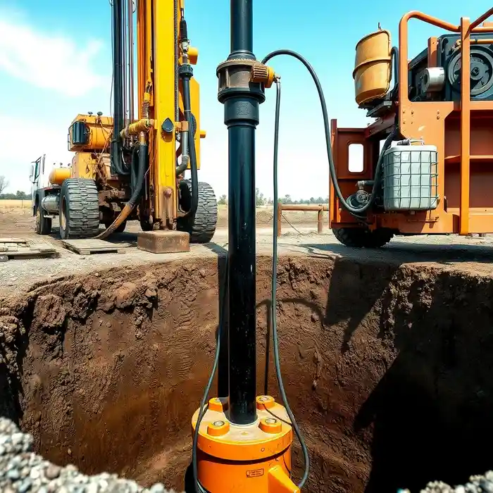
Methodology
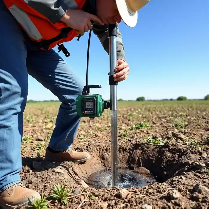
Our approach in the Billings area begins with a regional assessment of the Yellowstone Valley aquifer system. We integrate surface geological mapping with a review of existing well logs to identify favorable zones for water well drilling. Site-specific investigations then focus on delineating the depth to water-bearing sands and gravels within the alluvium, ensuring the well design is optimized for both yield and long-term sustainability in this specific environment.
Reference Technical Parameters
| Parameter | Reference Value |
|---|---|
| Predominant Soil Type | Layered Sands, Gravels, and Clays |
| Bedrock Depth (General Valley) | 50 - 200+ ft |
| Typical Groundwater Level (Valley) | 15 - 50 ft below surface |
| Maximum Seismic Acceleration (PGA) | Site-Specific (per IBC/USGS maps) |
| Typical SPT N60 Range (Alluvial Sands) | 10 - 40 blows/ft |
Local Considerations — Billings
1. **Geology & Soils**: The subsurface is dominated by unconsolidated alluvial deposits from the Yellowstone River, consisting of layered sands, gravels, and clays. This stratification requires careful screen selection to prevent sand incursion. 2. **Water Table**: Depth is variable, generally ranging from 15 to 50 feet in the valley, but can be deeper on the adjacent rimrocks. A preliminary hydrogeological survey is crucial for accurate targeting. 3. **Seismic Context**: While not the highest seismic zone, Billings is subject to regional seismic risk. Well casing and construction methods consider potential ground shaking. 4. **Neighborhood Contrast**: Well yields and depths differ markedly between the river valley bottom and the higher terraces or bedrock-dominated areas like the Heights. 5. **Typical Cases**: Residential and agricultural wells in the valley often tap high-yield shallow aquifers, while deeper wells on the rims may target fractured sandstone. For complex projects involving deeper aquifers or high-capacity needs, our team leverages extensive experience from water well drilling projects in Denver.
Request a Quote
Our team reviews your project and issues an initial report at no cost.
Or write us directly at [email protected]
Services in Billings
Applicable Standards
- Montana Department of Natural Resources and Conservation (DNRC) Well Construction Standards
- Montana Water Use Act
- Local Yellowstone County Regulations
- IBC Seismic Design Categories
Frequently Asked Questions
What are the main soil and geological challenges for drilling a water well in Billings?
The primary challenge is the heterogeneous, layered nature of the Yellowstone River alluvium. Drillers must accurately identify and screen water-bearing sand and gravel layers while sealing off fine-grained clay layers to ensure well efficiency and prevent sand pumping. Incorrect screen placement can lead to rapid well deterioration.
Are seismic design considerations required for water wells in Billings?
Yes. While seismic risk is moderate, the International Building Code (IBC) and state guidelines require that well design, particularly casing integrity and grouting, account for potential ground motion. This is especially important for wells that are part of a critical water supply system.
Is a hydrogeological study mandatory before drilling a well in Yellowstone County?
While not always mandated for single-family domestic wells, a professional hydrogeological study is highly recommended and is often required for commercial, agricultural, or municipal wells. It is essential for determining sustainable yield, avoiding interference with existing wells, and ensuring proper well construction that meets DNRC standards.