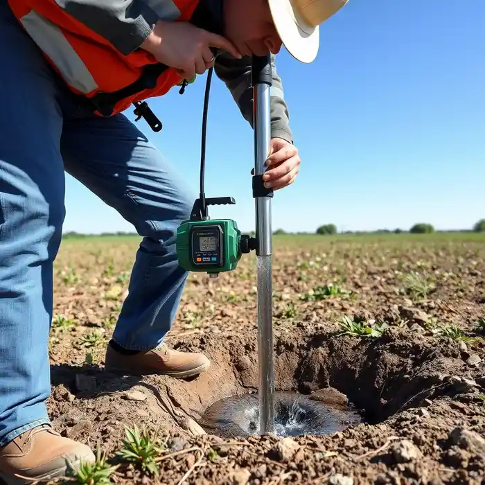
Methodology
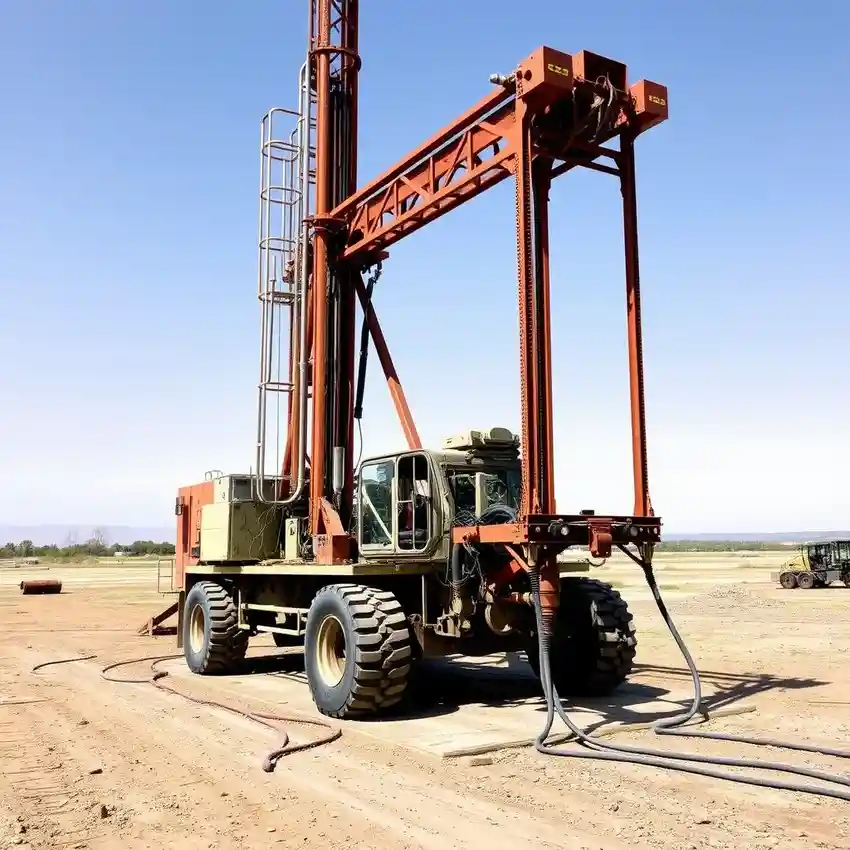
Our general approach in Phoenix begins with a comprehensive assessment of the target basin's characteristics. We integrate regional aquifer data with site-specific reconnaissance to inform the drilling strategy. The selection of drilling technique—whether rotary, percussion, or a hybrid method—is dictated by the anticipated subsurface profile, from unconsolidated alluvium to consolidated bedrock. A key phase is the proper well development, which is critical for maximizing yield and longevity in the often fine-grained sediments of the area. This foundational process is detailed in our dedicated page on water well drilling.
Reference Technical Parameters
| Parameter | Reference Value |
|---|---|
| Predominant Soil Type | Alluvial Sand, Gravel, Silt, and Clay |
| Typical Groundwater Level Depth | 50 - 500 ft (Variable by Basin) |
| Bedrock Depth (Basin Fill) | Several hundred to thousands of feet |
| Maximum Seismic Acceleration (PGA) | Low to Moderate (Site-Specific) |
Local Considerations — Phoenix
1. **Geology & Soil:** The subsurface is dominated by unconsolidated alluvial deposits from the Salt and Gila Rivers, with sequences of sand, gravel, silt, and clay creating complex, heterogeneous aquifers. 2. **Groundwater Level:** Depth to water varies significantly, from relatively shallow in historic river channels to several hundred feet in upland areas, heavily influenced by decades of agricultural and municipal use. 3. **Seismicity:** While not a primary design driver like in coastal states, the region has a low to moderate seismic risk, a factor considered in well casing design for critical infrastructure. 4. **Neighborhood Contrast:** Well performance can differ markedly between areas overlying the Salt River Project's managed aquifer and those in outlying basins with less recharge, necessitating tailored strategies. 5. **Typical Cases:** Projects often involve navigating existing well densities, water rights adjudication, and ensuring water quality given potential legacy agricultural contaminants, making a preliminary hydrogeological survey highly advisable.
Request a Quote
Our team reviews your project and issues an initial report at no cost.
Or write us directly at [email protected]
Services in Phoenix
Locations covered in Phoenix
Applicable Standards
- Arizona Department of Water Resources (ADWR) Regulations
- Arizona Revised Statutes, Title 45 (Water)
- Local County Well Construction Standards
Frequently Asked Questions
What are the main soil and aquifer challenges for drilling a well in Phoenix?
The primary challenge is the heterogeneity of the alluvial basin-fill aquifers. Layers of productive sand and gravel can be interspersed with fine-grained silt and clay, which can impede water flow and require careful well screen selection and development. Understanding the specific stratigraphy of your location is crucial for a successful and productive well.
What are the key regulatory steps for drilling a new water well in Phoenix?
The process is governed by the Arizona Department of Water Resources (ADWR). Key steps include obtaining a well permit, which may require demonstrating an adequate water supply or complying with Active Management Area (AMA) rules, and adhering to strict well construction and sealing standards. All work must be performed by a licensed well driller.
Is a hydrogeological study mandatory before drilling a well in Maricopa County?
While not always legally mandatory for all well types, a professional hydrogeological study is highly recommended, especially in areas with known water level declines, complex geology, or prior to significant commercial or agricultural investments. It de-risks the project by identifying the optimal depth, yield potential, and suitable construction methods.