Methodology
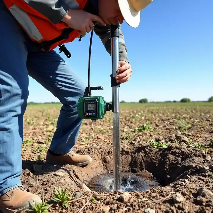
Our approach in Scottsdale begins with a thorough review of existing hydrogeologic data and ADWR well logs for the area. We then conduct a site-specific assessment to identify the most promising aquifer target, whether in the shallow alluvial deposits or deeper fractured bedrock. The actual water well drilling process is tailored to these conditions, utilizing rotary or percussion methods as appropriate. We meticulously log cuttings, install proper casing and screen, and develop the well to maximize sustainable yield and water quality, culminating in a standardized pump test to characterize the aquifer's performance.
Reference Technical Parameters
| Parameter | Reference Value |
|---|---|
| Predominant Soil Type | Alluvial sands, gravels, and clays |
| Bedrock Depth | Highly variable, 50 to 500+ feet |
| Typical Groundwater Level | 50 to 300+ feet below ground surface |
| Maximum Seismic Acceleration (PGA) | Approx. 0.3g (Site Class D) |
| Typical SPT N60 Range | 10 to 50+ blows/ft (highly variable) |
Local Considerations — Scottsdale
Scottsdale's groundwater landscape is defined by its position in the Salt River Valley. The water table depth varies significantly, from relatively shallow in northern areas near the McDowell Mountains to much deeper in central and southern parts due to historic groundwater pumping. The subsurface consists of heterogeneous alluvial sediments overlying hard basement rock. Seismic activity, while moderate, requires consideration of liquefaction potential in saturated, loose granular soils. A critical local factor is the strict management of the Active Management Area (AMA), mandating metering and reporting. For complex sites, a detailed hydrogeological survey is essential. For major regional projects, our central operations provide comprehensive water well drilling services from our Phoenix hub.
Request a Quote
Our team reviews your project and issues an initial report at no cost.
Or write us directly at [email protected]
Services in Scottsdale
Applicable Standards
- Arizona Department of Water Resources (ADWR) Well Construction Standards
- Salt River Valley Active Management Area (AMA) Regulations
- Arizona Administrative Code R12-15
Frequently Asked Questions
What are the main soil and rock challenges for drilling a well in Scottsdale?
The primary challenge is heterogeneity. Drilling transitions abruptly from unconsolidated alluvial layers containing cobbles and caliche (calcium carbonate cement) to very hard, fractured granite or gneiss bedrock. This requires robust equipment and adaptable techniques to maintain borehole stability and achieve target depth.
How does Scottsdale's seismic zone affect well construction?
While not the highest seismic risk, Scottsdale is in a zone that requires design consideration for ground shaking. Well construction must account for potential liquefaction in shallow, water-saturated sands, which can compromise casing integrity. Proper grouting and casing design are critical for seismic resilience.
Is a hydrogeologic study mandatory before drilling a well in Scottsdale?
While ADWR does not mandate a formal study for every single-family domestic well, it is highly recommended and often required for larger-capacity wells. Proof of adequate water supply, especially within the Active Management Area, typically requires a professional assessment to justify the well's proposed yield and ensure it will not impair existing water rights.