Methodology
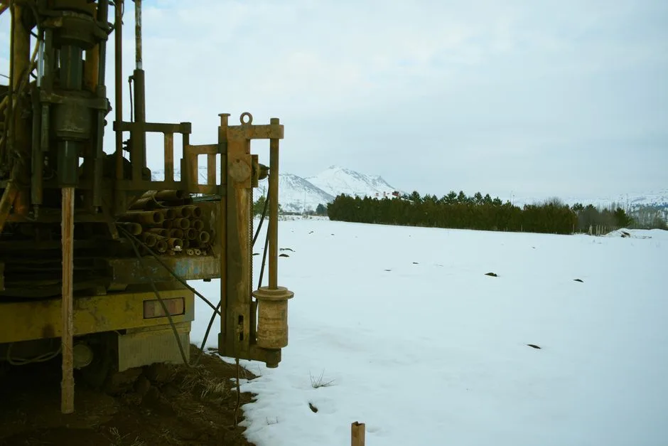
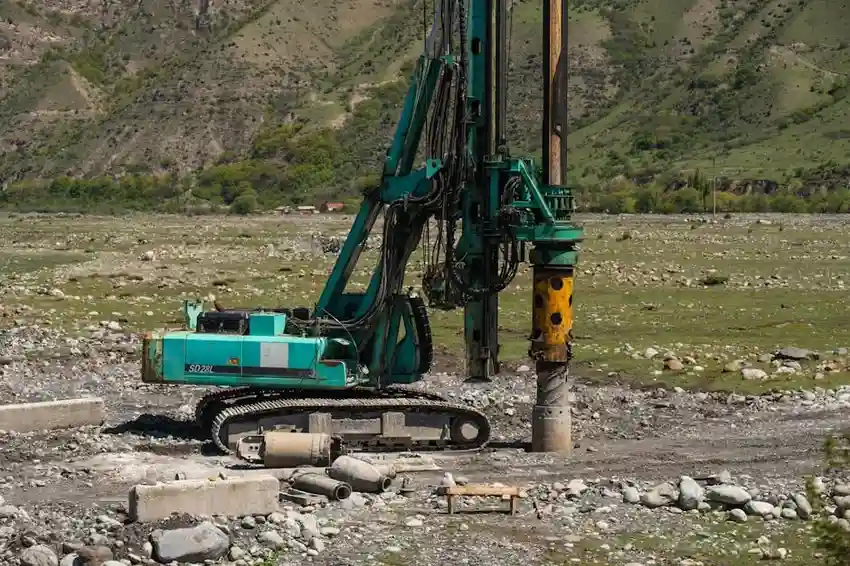
Our methodology follows a rigorous, phased approach aligned with industry standards like the ASTM D5092 for groundwater monitoring well design. We begin with a desktop study, reviewing geological maps, existing well logs, and regional aquifer data. Field reconnaissance includes geophysical surveys, such as electrical resistivity tomography, to image subsurface structures. This is followed by exploratory drilling or test boring to collect soil and rock core samples for analysis. Pump tests are conducted to determine aquifer parameters like transmissivity and storativity, often requiring monitoring over 24 to 72 hours. All data is synthesized into a detailed report that specifies the recommended well depth, screen placement, and sustainable yield, providing the blueprint for efficient Water Well Drilling.
Reference Technical Parameters
| Parameter | Reference Value |
|---|---|
| Aquifer Transmissivity (ft²/day) | 500 - 50,000 ft²/day |
| Static Water Level (ft below surface) | 20 - 400 ft |
| Estimated Sustainable Yield (US gal/min) | 10 - 1,500 GPM |
| Recommended Well Depth (ft) | 100 - 1,000 ft |
| Water Quality Testing Parameters | pH, Conductivity, Hardness, Contaminants |
Local Considerations — USA
The hydrogeological challenges across the United States are vastly different. In the arid Southwest, serving cities like Phoenix and Albuquerque, surveys focus on deep, confined aquifers and the critical issue of recharge rates. In contrast, coastal regions from Miami to Los Angeles require detailed analysis to map saltwater intrusion interfaces. In the glaciated terrains of the Midwest and Northeast, such as around Chicago and Boston, we map complex sequences of sand, gravel, and clay to locate high-yield zones. Our team adapts techniques—whether for karst topography in Florida or fractured bedrock in New England—to deliver accurate, location-specific assessments.
Request a Quote
Our team reviews your project and issues an initial report at no cost.
Or write us directly at [email protected]
Applicable Standards
- ASTM D5092 - Standard Practice for Design and Installation of Groundwater Monitoring Wells
- NGWA (National Ground Water Association) Water Well Construction Standard
- State-specific regulations (e.g., Texas Administrative Code, Chapter 76)
- ANSI/AWWA A100 - Water Wells
Frequently Asked Questions
What is the primary goal of a hydrogeological survey before drilling a well?
The primary goal is to de-risk the drilling investment by scientifically confirming the presence, quantity, and quality of groundwater. It moves the project from guesswork to engineering, defining the precise depth, construction design, and expected performance of the well, ensuring regulatory compliance and long-term viability.
What techniques are used to locate the best drilling site?
We employ a combination of techniques. This includes reviewing existing geological and well data, conducting surface geophysical surveys (like resistivity or seismic refraction), and often performing exploratory test drilling. This multi-method approach cross-verifies data to pinpoint the site with the highest probability of optimal yield.
How long does a standard hydrogeological survey take from start to report?
Timeline varies with project scope and site accessibility. A standard survey for a single residential or commercial well typically takes 2 to 4 weeks from initial site visit to delivery of the final report. This includes time for field data collection, laboratory analysis of water samples, and pump test monitoring.
How much does a Hydrogeological Survey cost in the USA?
Cost is highly variable and depends on survey depth, site accessibility, terrain complexity, and the number of required tests (e.g., pump tests, water quality panels). For a standard pre-drilling assessment, clients can expect a referential range. For an accurate quote tailored to your specific location and needs, we strongly recommend requesting a detailed project-specific proposal.