Methodology
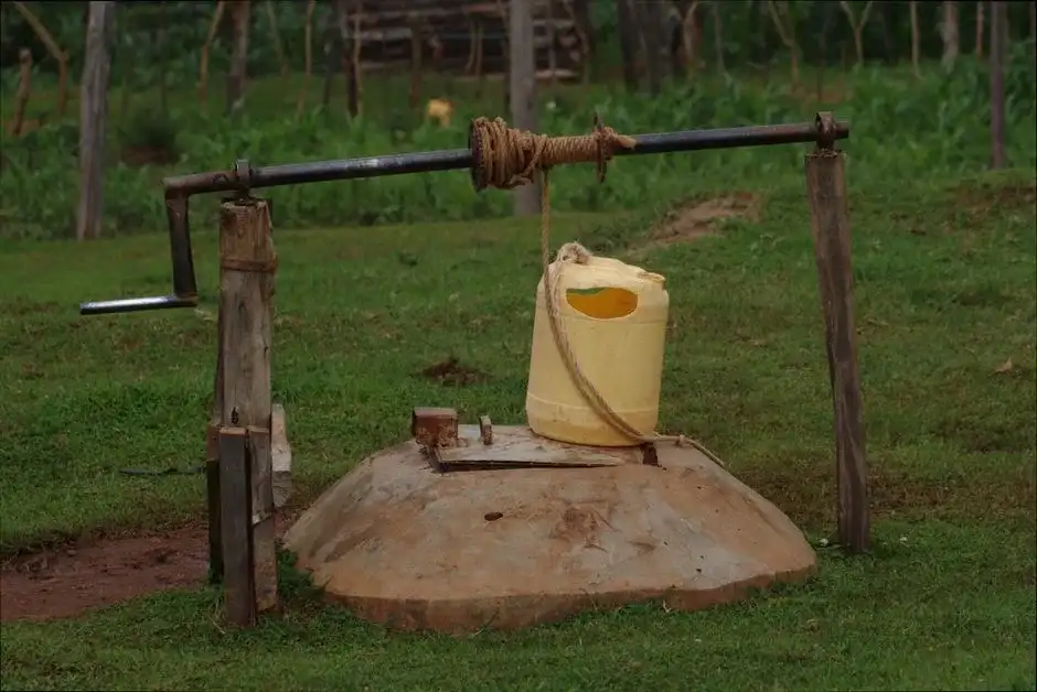
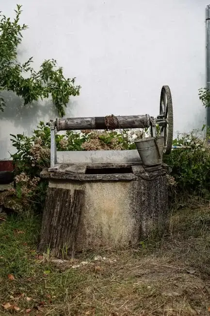
Our approach to water well drilling in Glendale begins with a comprehensive site assessment, integrating regional geological data with localized property evaluation. We analyze the stratigraphy, from near-surface alluvium to the deeper basin-fill sediments, to identify optimal aquifer targets. The subsequent water well drilling phase employs techniques suited to the anticipated soil and rock conditions, ensuring proper well construction, development, and yield testing. This systematic process is designed to deliver a reliable water source while adhering to all Arizona Department of Water Resources (ADWR) and local county requirements.
Reference Technical Parameters
| Parameter | Reference Value |
|---|---|
| Predominant Soil Type | Sandy Clay Loam to Gravelly Sand |
| Maximum Seismic Acceleration (PGA) | 0.2g - 0.3g (Site Specific) |
| Typical Groundwater Level | 50 - 300 ft below surface |
| Estimated Bedrock Depth | Variable, often > 500 ft |
| Typical SPT N60 Range (Alluvium) | 15 - 50 blows/ft |
Local Considerations — Glendale Arizona
1. The subsurface in Glendale is characterized by unconsolidated alluvial and basin-fill sediments, with depth to bedrock varying significantly. 2. Groundwater levels are subject to regional decline due to sustained demand, necessitating accurate depth assessment. 3. While seismic risk is moderate, soil liquefaction potential in saturated, loose granular soils must be considered in well design. 4. A stark contrast exists: wells in the northern areas near the Peoria Avenue corridor often encounter different water quality and depth parameters than those in southern Glendale. 5. Typical cases involve navigating complex permitting with the ADWR and coordinating with local municipal water providers, a process where our expertise in hydrogeological survey is critical. For broader regional expertise, our team also provides comprehensive water well drilling services from our Phoenix hub.
Request a Quote
Our team reviews your project and issues an initial report at no cost.
Or write us directly at [email protected]
Services in Glendale Arizona
Applicable Standards
- Arizona Department of Water Resources (ADWR) Well Drilling Rules
- Maricopa County Environmental Services Code
- Arizona Administrative Code R12-15
Frequently Asked Questions
What soil conditions are most common for water well drilling in Glendale?
Glendale's geology primarily consists of layered alluvial deposits—alternating sequences of clay, silt, sand, and gravel. These sediments were laid down by ancient river systems. The specific composition and coarseness vary greatly with location and depth, directly influencing well yield and design, necessitating proper site investigation before drilling commences.
How does local seismic code affect well construction?
While the International Building Code provisions for seismic design primarily affect structures, prudent well construction in Glendale considers seismic resilience. This includes proper grouting and sealing of the well casing to prevent aquifer contamination during ground shaking and ensuring structural integrity of the wellhead, especially in areas with higher liquefaction potential.
Is a hydrogeological study mandatory before drilling a well in Glendale?
While not always mandated for every single-family residential well, a professional hydrogeological study is highly recommended and is often required by the ADWR for non-exempt wells or in areas of critical groundwater management. It is essential for determining sustainable yield, avoiding interference with existing wells, and ensuring a successful, permitted project.