Methodology
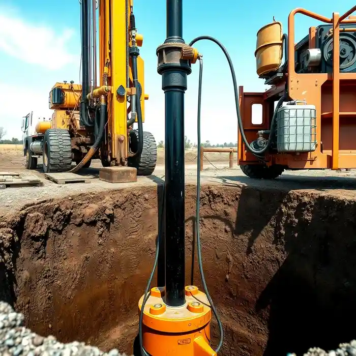
Our approach in El Paso begins with a comprehensive site assessment to evaluate the feasibility of a productive well. This involves analyzing existing hydrogeological data, understanding the property's location relative to known aquifer recharge zones and potential contamination sources. We then proceed with precise water well drilling, selecting techniques—such as rotary or cable tool—based on the anticipated subsurface conditions, including the depth to water-bearing strata and the nature of the overburden and basin-fill sediments. Each phase is documented to ensure compliance and optimize the well's long-term performance.
Reference Technical Parameters
| Parameter | Reference Value |
|---|---|
| Predominant Soil Type | Alluvial sands, gravels, silts, and clays |
| Maximum Seismic Acceleration (PGA) | Variable, site-specific analysis required |
| Typical Groundwater Level | 100 - 500+ ft below surface |
| Bedrock Depth | Highly variable, often several hundred feet |
| Typical SPT N60 Range | Wide range, from very loose to dense sediments |
Local Considerations — El Paso
1. **Geology & Aquifers**: El Paso's groundwater is primarily sourced from the Hueco Bolson, a complex basin-fill aquifer. Well yield and depth are highly variable, depending on the specific sedimentary layer intercepted. 2. **Water Table Depth**: The static water level can range from less than 100 feet in recharge areas to over 500 feet in heavily pumped zones, necessitating detailed pre-drilling analysis. 3. **Seismic Activity**: Located in a seismically active region, well design must consider ground stability. While not as critical as in coastal cities, proper well maintenance and construction are essential for infrastructure resilience. 4. **Neighborhood Contrast**: The deep, coarse-grained sediments in areas like the Upper Valley often yield higher-capacity wells compared to the finer-grained, less permeable zones found in parts of the Northeast. 5. **Regulatory Context**: Drilling requires permits from local groundwater conservation districts (e.g., Hueco Bolson) or the Texas Department of Licensing and Regulation (TDLR), with strict rules on well spacing, casing, and reporting.
Request a Quote
Our team reviews your project and issues an initial report at no cost.
Or write us directly at [email protected]
Services in El Paso
Applicable Standards
- Texas Administrative Code (TAC) Chapter 76
- Local Groundwater Conservation District Rules
- Texas Department of Licensing and Regulation (TDLR) Standards
Frequently Asked Questions
What soil and sediment types are most common for water well drilling in El Paso?
The subsurface consists primarily of unconsolidated basin-fill sediments from the Hueco Bolson. These include layers of sand, gravel, silt, and clay. The proportion and coarseness of these materials, which directly influence well yield, vary significantly with location and depth. Successful drilling depends on accurately identifying and targeting the most permeable, water-bearing sand and gravel layers.
How does local seismic activity influence well construction?
While El Paso is not in the highest seismic zone, the potential for ground motion is considered in engineering practices. For wells, this emphasizes the importance of proper well casing design and grouting to prevent collapse or shearing. Ensuring a structurally sound and sealed well is a key part of building resilient water infrastructure.
Is a hydrogeological study mandatory before drilling a well in El Paso?
While not always mandated by code for every single-family property, a professional hydrogeological survey is highly recommended and often required by local groundwater districts for larger withdrawals. It is a critical step for identifying the optimal drill site, estimating potential yield, ensuring regulatory compliance, and avoiding costly dry holes or low-producing wells.