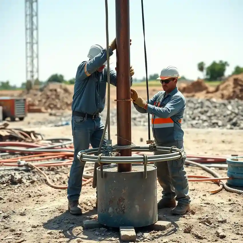
Methodology
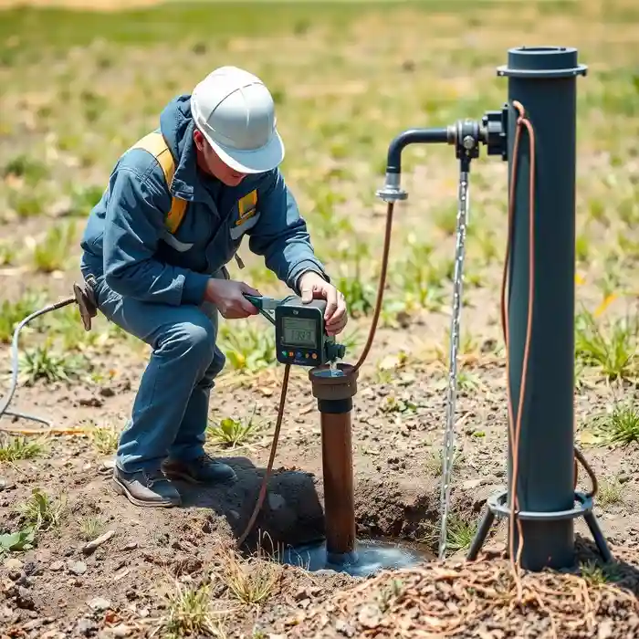
Our approach in Casper begins with a comprehensive site evaluation to understand the subsurface conditions. This involves reviewing existing geological data and conducting field reconnaissance. Based on this analysis, we determine the optimal location and design for the well. The subsequent water well drilling phase employs techniques suited to the local geology, such as rotary drilling for penetrating the sedimentary layers. Throughout the process, we meticulously log formation samples and monitor drilling parameters to ensure the well is constructed for maximum efficiency and longevity.
Reference Technical Parameters
| Parameter | Reference Value |
|---|---|
| Predominant Soil & Rock Type | Alluvial deposits overlying Casper Formation sandstone and Madison Limestone |
| Typical Bedrock Depth | Variable, from surface exposure to over 100 ft of overburden in valleys |
| Estimated Groundwater Level | 50 - 300+ feet below ground surface |
| Maximum Seismic Acceleration (PGA) | Site-specific, generally low to moderate per USGS models |
| Typical Aquifer Yield | Variable, dependent on intersection with fracture zones |
Local Considerations — Casper Wyoming
1. **Geology & Aquifers**: Casper's groundwater primarily comes from the Casper Aquifer, composed of fractured Madison Limestone and the Casper Formation sandstone. Yields can be highly variable due to this fracture-dependent flow. 2. **Water Table Depth**: The depth to water is generally shallower in the North Platte River valley and increases significantly on the surrounding mesas, directly impacting drilling depth and cost. 3. **Seismic Activity**: While not the most active zone, Casper is in a region with potential for seismic events, a factor considered in well casing design for integrity. 4. **Area Contrasts**: Residential areas on the mesas often require deeper, more carefully sited wells compared to river-adjacent properties, necessitating a detailed hydrogeological survey for optimal results. 5. **Typical Cases**: A frequent scenario involves correcting low-yield wells originally drilled without proper analysis of fracture zones, highlighting the need for expert planning from the start. For major regional projects, our team also provides comprehensive water well drilling services from our Denver hub.
Request a Quote
Our team reviews your project and issues an initial report at no cost.
Or write us directly at [email protected]
Services in Casper Wyoming
Applicable Standards
- Wyoming State Engineer's Office Well Construction Standards
- Wyoming Department of Environmental Quality Regulations
- Local Natrona County Land Use Regulations
Frequently Asked Questions
What are the main soil and rock challenges for drilling a water well in Casper?
The primary challenge is the heterogeneous nature of the bedrock aquifer. Drilling through alluvial valley fill is straightforward, but successfully intersecting productive fracture networks in the underlying sandstone and limestone requires precise location and understanding of local hydrogeology to avoid low-yield zones.
Are there specific seismic design considerations for wells in Casper?
While not in a high seismic zone, well design in Casper still incorporates prudent engineering practices for casing and grouting to ensure structural integrity during any ground motion, protecting the well bore and preventing aquifer contamination.
Is a hydrogeological study mandatory before drilling a well in Natrona County?
While not always mandated by code for every single-family well, a professional hydrogeological study is highly recommended and is often a requirement for larger withdrawal permits, subdivisions, or commercial projects. It is a critical step to ensure legal compliance and a sustainable, productive water supply.