Methodology
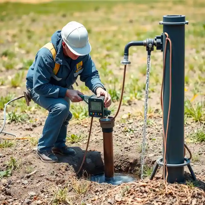
Our approach in the Wichita area begins with a comprehensive review of existing hydrogeological data and county well logs to identify favorable zones within the aquifer. We then employ advanced water well drilling techniques, typically rotary or dual rotary methods, suitable for penetrating the unconsolidated sands and gravels of the Ogallala Formation and the underlying Cretaceous bedrock where necessary. The process includes careful borehole logging, proper well screen selection based on sieve analysis of formation samples, and rigorous well development to maximize yield and efficiency, culminating in a standardized pump test to accurately determine the well's sustainable capacity.
Reference Technical Parameters
| Parameter | Reference Value |
|---|---|
| Predominant Soil/Aquifer Material | Unconsolidated sand, gravel, silt, and clay (Ogallala Fm. & alluvium) |
| Typical Bedrock Depth | 50 - 300 feet (variable, Cretaceous shale/limestone beneath Ogallala) |
| Static Water Level Range | 50 - 200+ feet below ground surface (historically declining) |
| Maximum Seismic Acceleration (PGA) | ≤ 0.2g (Site Class D, IBC/ASCE 7 guidelines) |
| Typical SPT N60 Value Range | 10 - 40 (highly variable based on saturation and soil type) |
Local Considerations — Wichita
1. **Geology & Aquifer**: Wichita sits atop the western edge of the Arkansas River Valley and the vast High Plains (Ogallala) Aquifer. Water-bearing units consist of unconsolidated Quaternary alluvium and the Tertiary-aged Ogallala Formation, with saturated thickness varying significantly from east to west. 2. **Groundwater Depth**: The static water level has experienced notable decline in many areas due to decades of irrigation, making depth-to-water a primary factor in well design and cost. 3. **Seismic Context**: While not in a high seismic zone like the West Coast, Wichita is in a region of low to moderate seismicity, with potential influence from the Nemaha Uplift. Well construction considers soil stability. 4. **Local Contrasts**: Well yields and depths can differ markedly between properties drawing from the shallow alluvial aquifer near rivers and those targeting the deeper, more extensive Ogallala Formation. A professional hydrogeological survey is essential for planning. 5. **Typical Projects**: Common scenarios include replacing aging, low-yield wells, developing new agricultural irrigation wells to specific water rights, and providing primary or backup water supply for rural residences, often requiring subsequent pump installation. For major regional expertise, refer to our central hub for professional water well drilling services from Denver.
Request a Quote
Our team reviews your project and issues an initial report at no cost.
Or write us directly at [email protected]
Services in Wichita
Applicable Standards
- Kansas Administrative Regulations (K.A.R.) 28-30 (Water Well Regulations)
- Kansas Department of Health and Environment (KDHE) Standards
- Local Sedgwick County Codes
- ASCE 7 (Seismic Load Provisions for well head completion)
Frequently Asked Questions
What type of soil and rock conditions are typically encountered during well drilling in Wichita?
Drillers typically first penetrate layers of topsoil, clay, and silt, followed by the primary water-bearing units: unconsolidated sands, gravels, and some caliche layers of the Ogallala Formation. In deeper wells, the Cretaceous bedrock, consisting of shale and limestone, may be encountered. The specific stratigraphy significantly influences drilling method, casing design, and well screen selection.
Are there specific seismic construction standards for water wells in Wichita?
While not in a high-hazard seismic zone, general engineering principles for stability apply. Well construction must ensure the integrity of the wellhead and casing, particularly in areas with loose, saturated soils that could be susceptible to liquefaction under very rare seismic events. Designs often reference broader building code standards for lateral stability and connection details.
Is a hydrogeological study mandatory before drilling a water well in Sedgwick County?
While not always mandated by code for every single-family domestic well, a professional hydrogeological assessment is strongly recommended and is often required for higher-capacity wells (e.g., irrigation, municipal, industrial). It is crucial for determining optimal location, predicted yield, and to ensure compliance with water appropriation rules and avoidance of existing wells or contamination sources.