Methodology
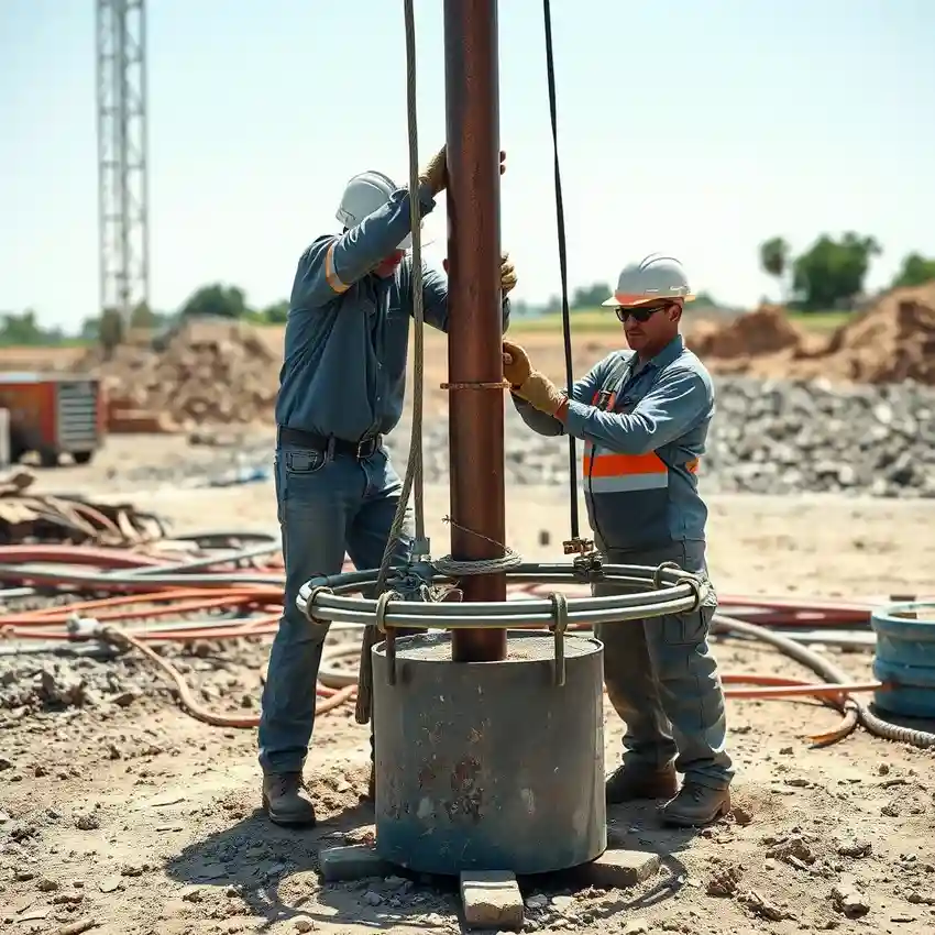
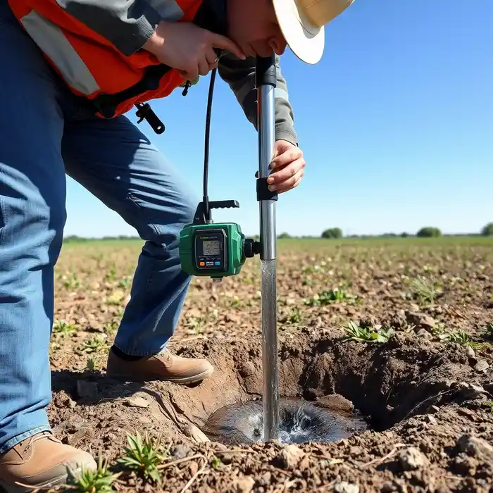
Our approach in Lubbock begins with a thorough evaluation of the site-specific conditions of the Ogallala Aquifer. We analyze existing well logs, geologic maps, and water level trends to identify optimal drilling targets. The actual water well drilling process is then tailored to the local stratigraphy, typically involving rotary drilling methods to efficiently penetrate the sandy and gravelly formations. We prioritize proper well development to ensure maximum yield and longevity, followed by systematic testing to characterize the aquifer's response and establish a sustainable pumping rate for the client's needs.
Reference Technical Parameters
| Parameter | Reference Value |
|---|---|
| Predominant Soil/Aquifer Material | Unconsolidated sand, gravel, silt, and clay |
| Bedrock Depth | Highly variable, often 200+ feet below surface |
| Typical Groundwater Level (Depth to Water) | 50 - 200+ feet below surface |
| Maximum Seismic Acceleration (PGA) | Low seismic hazard region |
| Typical SPT N60 Value Range | Variable; generally low to medium in unsaturated zone |
Local Considerations — Lubbock
1. **Geology & Aquifer**: Lubbock sits atop the Ogallala (High Plains) Aquifer, a vital but declining water resource composed of unconsolidated sands, gravels, and clays. Understanding the saturated thickness and local permeability variations is critical. 2. **Water Table Depth**: The static water level has dropped significantly in many areas due to decades of extraction, often requiring deeper wells than historical averages. 3. **Seismic Context**: While not a primary seismic zone, the area is subject to low-level activity; well design considers general stability. 4. **Urban vs. Rural Contrast**: Well requirements differ greatly between a high-capacity agricultural well in the county and a smaller-capacity well for a rural residence. 5. **Typical Challenges**: Projects often involve navigating complex water rights permits and designing wells to minimize sand incursion from the aquifer's friable formations. A preliminary hydrogeological survey is highly recommended to address these factors.
Request a Quote
Our team reviews your project and issues an initial report at no cost.
Or write us directly at [email protected]
Services in Lubbock
Applicable Standards
- Texas Administrative Code (TAC) Chapter 290 - Public Drinking Water
- Texas Water Code
- Local Rules of the High Plains Underground Water Conservation District No. 1
- Texas Department of Licensing and Regulation (TDLR) Well Driller/Pump Installer License
Frequently Asked Questions
What is the most important geological consideration for drilling a water well in Lubbock?
The primary consideration is the current saturated thickness and hydraulic properties of the Ogallala Aquifer at your specific location. This aquifer is not uniform; its depth, thickness, and yield potential vary significantly across short distances. A proper site assessment is essential to determine viable depth and expected well performance before drilling commences.
Are there specific seismic codes that affect well construction in Lubbock?
While Lubbock is not in a high seismic design category, all well construction must adhere to state-mandated standards for material strength and sanitary sealing to ensure structural integrity and protect the aquifer from contamination. These standards, enforced by the TDLR, provide a robust framework for safe construction even in low-seismicity areas.
Is a hydrogeological study mandatory before drilling a well in Lubbock County?
While not always legally mandatory for all well types, a professional hydrogeological survey is strongly recommended and is often a requirement for obtaining a drilling permit from the local Underground Water Conservation District. It is a critical step for securing water rights, determining sustainable yield, and ensuring the technical and economic feasibility of the well.