Methodology
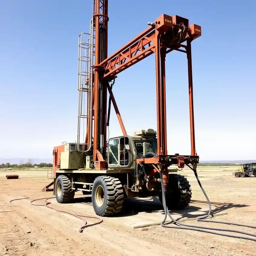
Our approach in Laramie begins with a thorough assessment of the site's potential, considering the complex interplay of alluvial deposits and deeper bedrock aquifers. We employ precise drilling techniques suited to the local geology, whether penetrating unconsolidated valley fill or harder sedimentary formations. Each phase, from initial borehole advancement to well development, is conducted with rigorous attention to detail, ensuring the structural integrity and optimal yield of the well. This systematic process is the foundation of our water well drilling methodology for the Laramie area.
Reference Technical Parameters
| Parameter | Reference Value |
|---|---|
| Predominant Soil Type | Alluvial Silt, Sand, and Gravel; Weathered Sedimentary Bedrock |
| Maximum Seismic Acceleration (PGA) | 0.1g - 0.2g (USGS Seismic Design Maps) |
| Typical Groundwater Level (Depth) | 15 - 100+ feet below surface |
| Bedrock Depth | 0 - 50 feet (highly variable from outcrop to valley fill) |
| Typical Aquifer Type | Unconsolidated Alluvial & Fractured Bedrock |
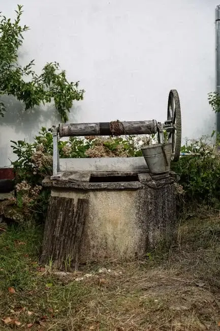
Local Considerations — Laramie
Laramie's groundwater conditions present specific challenges. The depth to water varies significantly between the Laramie River Valley's shallower alluvial aquifer and the deeper, fractured bedrock aquifers of the surrounding uplands. Seismic activity, while moderate, requires design consideration for well casing integrity. Contrasts are evident between newer subdivisions on valley fill and older properties on bedrock, directly influencing well depth and design. A thorough hydrogeological survey is often critical here to identify the best aquifer target. For complex projects involving high-capacity systems, our team's expertise from water well drilling projects in Denver provides valuable regional insight.
Request a Quote
Our team reviews your project and issues an initial report at no cost.
Or write us directly at [email protected]
Services in Laramie
Applicable Standards
- Wyoming State Engineer's Office Rules & Regulations
- Laramie Municipal Code
- EPA Underground Injection Control (UIC) Program Standards
Frequently Asked Questions
What are the common soil and rock conditions for drilling a well in Laramie?
Conditions are highly variable. In the Laramie River Valley, you typically encounter unconsolidated alluvial deposits of silt, sand, and gravel overlying bedrock. Outside the valley, drilling often begins in weathered sandstone or shale bedrock. The specific sequence dictates the drilling method and well design, impacting cost and timeline.
Are there specific water rights or permitting hurdles for a new well in Laramie?
Yes. Wyoming operates under the prior appropriation doctrine ('first in time, first in right'). Drilling a new well requires a permit from the Wyoming State Engineer's Office, and water rights must be legally secured. The process evaluates the availability of water in the source aquifer and potential impacts on existing senior water rights.
Is a water quality test required after drilling a new well in Albany County?
While not always legally mandated for all wells, comprehensive water quality testing is strongly recommended and is often required for wells serving public systems or as a condition of financing. Testing establishes a baseline for safety, checking for parameters like bacteria, nitrates, and total dissolved solids common to the area.