Methodology
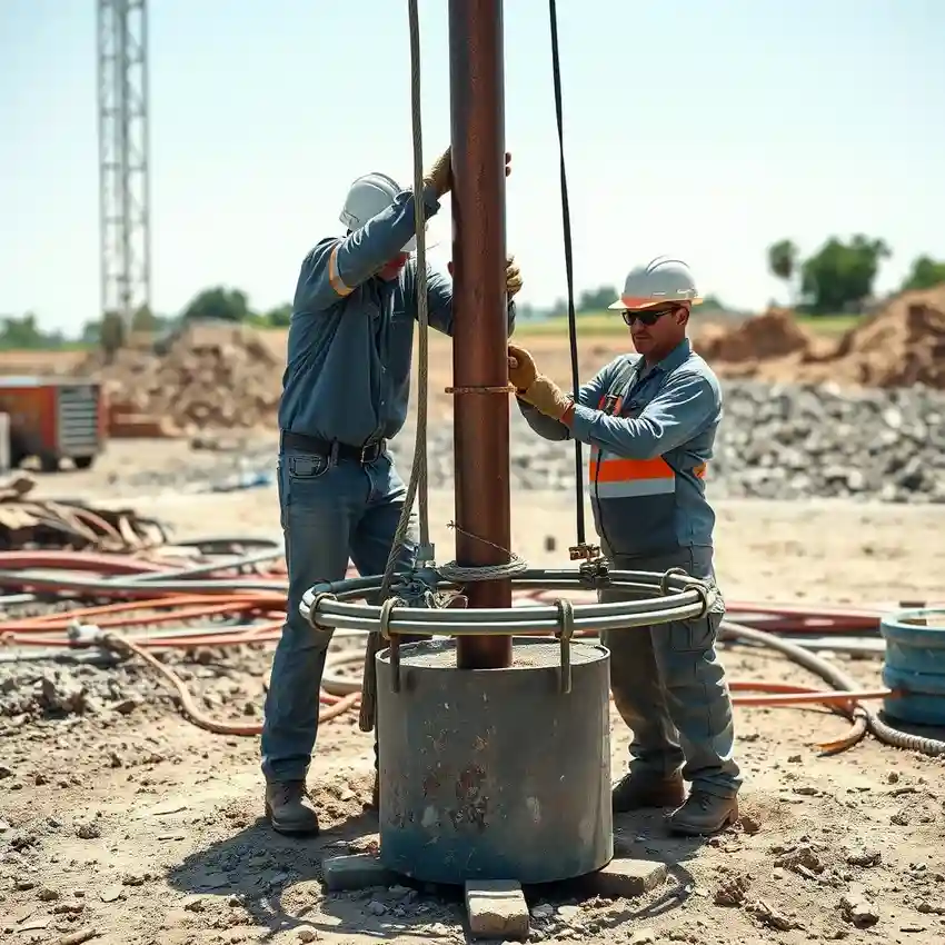
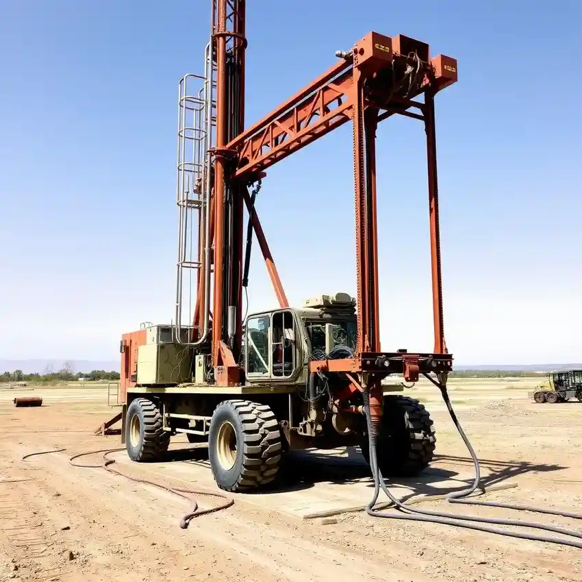
Our approach in Visalia begins with a thorough understanding of the local aquifer system, primarily the Tulare Formation. We assess historical well logs and groundwater level trends to identify optimal zones for water well drilling. The drilling process is adapted to the unconsolidated alluvial sediments, utilizing techniques that ensure proper well development and prevent sanding. We prioritize constructing wells that are resilient to the area's water level declines and potential water quality variations.
Reference Technical Parameters
| Parameter | Reference Value |
|---|---|
| Predominant Soil Type | Unconsolidated Alluvial Sediments (Sands, Silts, Clays) |
| Typical Groundwater Level | 30 - 150 ft below ground surface |
| Bedrock Depth | Generally > 500 ft in valley center |
| Maximum Seismic Acceleration (PGA) | 0.3 - 0.4g (Site-Specific) |
| Typical SPT N60 Range | 5 - 30 blows/ft (variable with depth and layer) |
Local Considerations — Visalia
1. **Geology & Aquifer:** The primary source is the unconfined to semi-confined alluvial aquifer system. 2. **Water Table:** Depth is highly variable, often between 30 to 150 feet, heavily dependent on proximity to irrigation and the Friant-Kern Canal. 3. **Seismic Context:** Located in a region with moderate seismic risk, well design considers liquefaction potential in loose, saturated sands. 4. **Local Contrasts:** Well yields and depths can differ markedly between older urban areas and newer agricultural peripheries. 5. **Typical Cases:** Many projects involve replacing or deepening existing agricultural wells impacted by long-term groundwater overdraft, making a preliminary hydrogeological survey critical for sustainable design.
Request a Quote
Our team reviews your project and issues an initial report at no cost.
Or write us directly at [email protected]
Services in Visalia
Applicable Standards
- California Water Code
- Tulare County Ordinance Code
- DWR Bulletin 74-81 & 74-90
- Local Groundwater Sustainability Agency (GSA) Regulations
Frequently Asked Questions
What soil conditions are most common for water well drilling in Visalia?
The subsurface primarily consists of layered, unconsolidated alluvial deposits—alternating sequences of sand, silt, and clay. These conditions require careful drilling and well screen selection to ensure a stable, sand-free well and efficient aquifer development.
How does seismic risk influence well construction here?
While not the highest seismic zone, the potential for ground shaking necessitates proper well design. This includes securing the well casing and protecting the wellhead from damage, especially in areas with loose, saturated soils susceptible to settlement.
Are hydrogeological studies mandatory before drilling a new well in Visalia?
While not always mandated by code for every single-family domestic well, a professional hydrogeological survey is highly recommended and often required by local Groundwater Sustainability Agencies (GSAs) for larger capacity wells. It is essential for determining sustainable yield, proper depth, and avoiding interference with existing wells.