Methodology
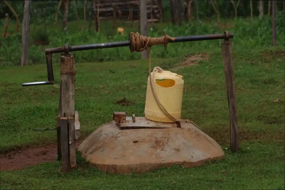
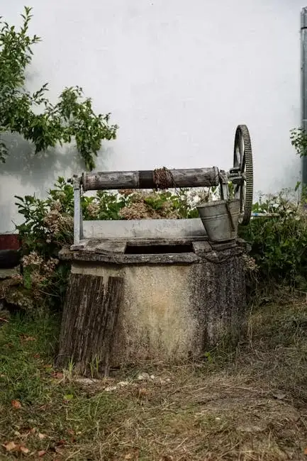
Our general methodology for projects in Virginia Beach begins with a thorough site evaluation to understand the property's specific context within the broader coastal plain aquifer system. This informs the strategic planning of the water well drilling operation, where we select appropriate techniques—such as rotary or cable tool drilling—based on expected subsurface conditions, including the presence of unconsolidated sediments and the target depth for the aquifer. We prioritize methods that ensure well integrity, prevent aquifer contamination, and optimize sustainable yield from the water-bearing strata.
Reference Technical Parameters
| Parameter | Reference Value |
|---|---|
| Predominant Soil Type | Unconsolidated Sands, Silts, and Clays |
| Typical Groundwater Level | 10 - 30 ft (3 - 9 m) below surface |
| Bedrock Depth | 200 - 1000+ ft (61 - 305+ m) (Crystalline basement) |
| Maximum Seismic Acceleration (PGA) | Low (Site-specific evaluation required) |
| Typical SPT N60 Value Range | 5 - 30 (Highly variable with depth and layer) |
Local Considerations — Virginia Beach
1. **Geology & Aquifers**: The area is underlain by the Columbia Aquifer system, consisting of layered sands, clays, and shells. Yields vary significantly; the Yorktown-Eastover Aquifer is a primary target for deeper, higher-capacity wells. 2. **Groundwater Depth**: The water table is generally shallow, often within 10-30 feet of the surface, but can be influenced by tidal effects in coastal zones. 3. **Seismic Context**: While not a high seismic zone, the unconsolidated coastal soils can amplify ground motion; foundational design for wellheads and pump pads should consider basic seismic resilience. 4. **Area Contrasts**: Inland areas like Blackwater may target deeper aquifers for agricultural use, while oceanfront properties face strict regulations and potential saltwater intrusion concerns, necessitating a precise hydrogeological survey prior to any drilling. 5. **Typical Projects**: Residential wells for homes beyond municipal lines, irrigation wells for farms and golf courses, and dewatering wells for construction are common, each requiring specific permitting from the Virginia Department of Health.
Request a Quote
Our team reviews your project and issues an initial report at no cost.
Or write us directly at [email protected]
Services in Virginia Beach
Applicable Standards
- Virginia Department of Health (VDH) Regulations
- Virginia State Water Control Board Regulations
- City of Virginia Beach Code
- EPA Safe Drinking Water Act Standards
Frequently Asked Questions
What are the main soil and aquifer challenges for drilling a well in Virginia Beach?
The primary challenge is the heterogeneous, layered nature of the coastal plain sediments. Drillers may encounter loose sands that can cave, dense clay layers that slow progress, and gravel beds. Proper well design, including screen selection and gravel pack, is critical to prevent sand pumping and ensure long-term efficiency, as these layers comprise the aquifer system itself.
Are there specific seismic design considerations for well construction here?
While the seismic risk is lower than in other U.S. regions, the soft, saturated soils prevalent in Virginia Beach can be susceptible to liquefaction under strong shaking. Although not always mandated for residential wells, prudent engineering practice for commercial or critical supply wells may include securing the well casing and designing pump house foundations to accommodate potential ground movement.
Is a hydrogeological study mandatory before drilling a water well in Virginia Beach?
For standard residential wells on single-family lots, a full study is not always required by code, but a site evaluation and permit from the VDH are mandatory. However, for commercial, agricultural, or high-yield wells, or for any property near the coast or with suspected contamination, a professional hydrogeological assessment is highly recommended and often required to determine optimal location, depth, and to assess risks like saltwater intrusion.