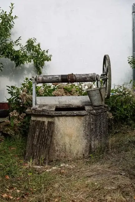
Methodology
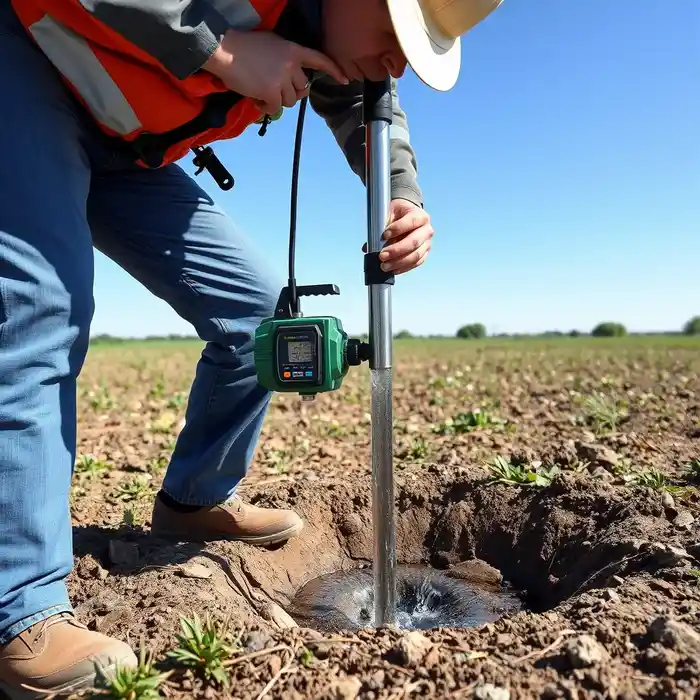
Our approach in Tulsa begins with a regional hydrogeological review to identify the most viable aquifer target, whether it be the Roubidoux Formation, the Boone Aquifer, or shallow alluvial deposits. We then proceed with precise water well drilling operations, selecting techniques—such as rotary or cable tool—based on the anticipated geology and depth. During drilling, we continuously log formation samples and monitor water strikes. The final well construction includes proper casing, screen selection, and development to optimize yield and ensure long-term integrity, culminating in a standardized pump test to define sustainable production capacity.
Reference Technical Parameters
| Parameter | Reference Value |
|---|---|
| Predominant Soil Type | Clay loam to sandy loam |
| Typical Groundwater Level | 10 - 100 ft below surface |
| Bedrock Depth (Ozark Plateau) | 50 - 200 ft |
| Maximum Seismic Acceleration (PGA) | 0.1 - 0.2g |
| Typical SPT N60 Range (Alluvial Soils) | 10 - 30 blows/ft |
Local Considerations — Tulsa
1. **Geology & Aquifers**: Tulsa sits atop multiple aquifer systems. The shallow alluvial aquifer along the Arkansas River offers moderate yields but can be susceptible to contamination, while deeper bedrock aquifers like the Roubidoux require more extensive drilling but provide more protected, consistent water. 2. **Groundwater Level**: Water tables are generally shallow in river valleys but can drop significantly in upland areas, especially during drought, impacting well design. 3. **Seismic Context**: While not the highest risk zone, Tulsa's proximity to the Nemaha Ridge and other fault systems necessitates consideration of seismic resilience in well casing design. 4. **Neighborhood Contrast**: A hydrogeological survey is particularly valuable when comparing sites; yields in the sandy soils of South Tulsa can differ substantially from those in the clay-heavy areas to the north. 5. **Typical Cases**: Residential wells in Tulsa often target the alluvial aquifer (20-100 ft), while agricultural or high-volume commercial wells may require drilling into deeper sandstone formations (200-500 ft). For major regional projects, consider our foundational water well drilling services from our Houston hub.
Request a Quote
Our team reviews your project and issues an initial report at no cost.
Or write us directly at [email protected]
Services in Tulsa
Applicable Standards
- Oklahoma Water Resources Board (OWRB) Well Construction Standards
- Oklahoma Administrative Code (OAC) 785:30
- Local Tulsa County Health Department Regulations
Frequently Asked Questions
What soil and rock conditions are most common for water well drilling in Tulsa?
Tulsa geology is diverse. Eastern areas feature the sandstone, limestone, and dolomite of the Ozark Plateau. Western areas and river valleys consist of unconsolidated alluvial deposits like sand, gravel, and clay. The suitability for well drilling varies significantly; bedrock wells require different techniques and equipment than sand and gravel wells, making a professional site evaluation essential.
Are there specific seismic building code considerations for wells in Tulsa?
While Tulsa is in a moderate seismic zone, the primary concern for wells is not structural building codes but the integrity of the well seal and casing. Proper construction techniques, including grouting and securing the casing, are critical to prevent aquifer contamination from surface water intrusion, which could be exacerbated by ground shaking.
Is a hydrogeological study mandatory before drilling a water well in Tulsa?
While not always legally mandatory for every residential well, a professional hydrogeological study is highly recommended. It determines the optimal location, depth, and expected yield of a well, ensuring efficient use of resources and compliance with OWRB regulations, especially for wells intended for non-domestic use or in areas of known water rights complexity.