Methodology
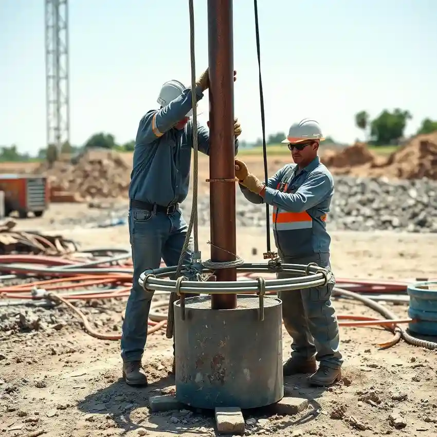
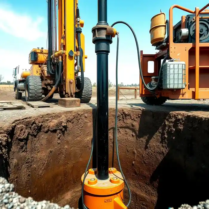
Our approach in Tallahassee begins with a comprehensive assessment of the site's position relative to the karstic features of the Upper Floridan Aquifer. We analyze existing well logs and geologic maps to predict potential zones of high yield and identify risks such as direct connection to surface waters. The subsequent water well drilling phase is carefully executed to penetrate the proper limestone formations, utilizing techniques that mitigate the risk of collapse in cavernous zones. Continuous monitoring during drilling allows for real-time adjustments to the well design based on the encountered lithology.
Reference Technical Parameters
| Parameter | Reference Value |
|---|---|
| Predominant Soil Type | Sandy Clays & Coastal Sands |
| Typical Groundwater Level | 10 - 50 ft below surface |
| Bedrock Depth (Hawthorn Group) | 50 - 150 ft |
| Maximum Seismic Acceleration (PGA) | Low to Moderate (Site-Specific) |
| Aquifer System | Upper Floridan Aquifer (Karstic Limestone) |
Local Considerations — Tallahassee
Tallahassee's geology is dominated by the karstic limestone of the Upper Floridan Aquifer, which dictates well design and potential yield. The water table is generally shallow but can vary significantly with topography and proximity to sinkholes. Seismic risk is considered low, though site-specific evaluation is part of our standard hydrogeological survey process. A key local contrast exists between the western areas with thicker clay overburden, requiring deeper drilling to reach productive zones, and eastern sectors where the aquifer is closer to the surface but more vulnerable to surface contamination. All projects must navigate Florida's Water Management District permitting, which strictly governs groundwater withdrawal to protect aquifer levels and spring flows. For major regional operations, our centralized team provides comprehensive water well drilling services from Atlanta.
Request a Quote
Our team reviews your project and issues an initial report at no cost.
Or write us directly at [email protected]
Services in Tallahassee
Applicable Standards
- Florida Statutes Chapter 373 (Water Resources)
- Northwest Florida Water Management District Rules
- Florida Department of Environmental Protection (FDEP) Well Construction Standards
Frequently Asked Questions
How does Tallahassee's karst geology affect water well drilling?
The karst limestone of the Floridan Aquifer can feature cavities and solution channels, leading to potential for high well yields but also risks of borehole instability or sudden loss of drilling fluid. Well design must account for this variability, often requiring specialized casing and development techniques to ensure a stable, productive well that does not create a direct conduit for surface contamination.
What local regulations are specific to drilling a water well in Tallahassee?
All water well construction is permitted and regulated by the Northwest Florida Water Management District (NWFWMD). Regulations cover well location (setbacks from contaminants), construction standards (casing, grouting), and often require a water use permit for withdrawals above a certain volume. Compliance is mandatory to protect the aquifer and adjacent water bodies like Wakulla Springs.
Is a hydrogeological study always required before drilling in Leon County?
While not always mandated by code for single-family residential wells on large lots, a professional hydrogeological survey is highly recommended. Given the variable depth to water and productive zones, and the legal need to avoid contaminating the aquifer or impacting neighboring wells, a study provides critical data for efficient siting, design, and permitting, ultimately protecting your investment.