Methodology
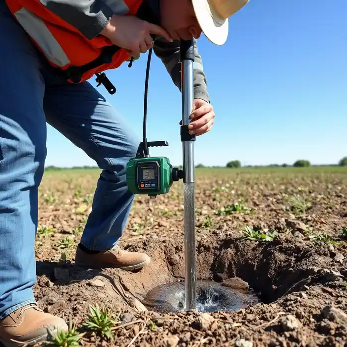
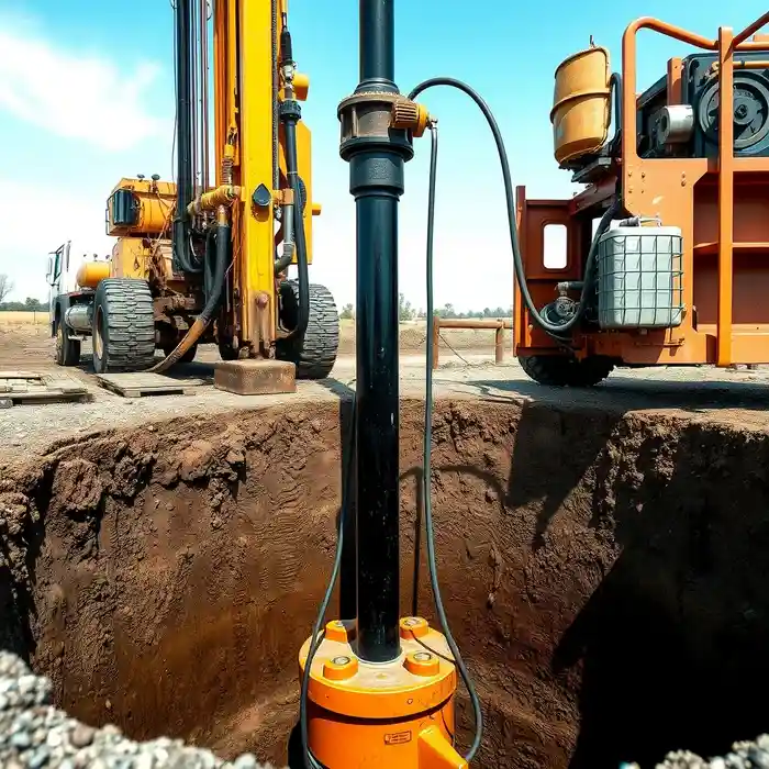
Our approach in Springfield begins with a thorough evaluation of the site's potential within the context of the local aquifer systems. We assess geological maps, existing well data, and property specifics to identify the most promising target zones. The subsequent water well drilling process is tailored to the glacial till and outwash sediments prevalent in the area, ensuring proper well construction, development, and testing to maximize yield and longevity, all while adhering to Illinois Department of Natural Resources (IDNR) standards.
Reference Technical Parameters
| Parameter | Reference Value |
|---|---|
| Predominant Soil Type | Glacial Till and Outwash (Sand, Silt, Clay, Gravel) |
| Typical Groundwater Level | 15 - 50 ft below ground surface |
| Bedrock Depth (Pennsylvanian) | 100 - 300 ft (highly variable) |
| Maximum Seismic Acceleration (PGA) | 0.1g - 0.2g (Site Class Dependent) |
| Typical SPT N60 Range (Upper 20 ft) | 5 - 30 blows/ft (variable per stratum) |
Local Considerations — Springfield Illinois
Springfield's hydrogeology is primarily influenced by the Wisconsin Episode glacial deposits overlying the deeper Mahomet Aquifer. The water table is generally shallow, often within 15 to 50 feet, but can vary significantly. Seismic risk is moderate, with building codes considering potential liquefaction in saturated, loose sandy soils. Well design in older, established neighborhoods must account for potential legacy contaminants, while rural properties often target deeper, more confined units for higher yield. For a detailed understanding of your specific site's subsurface conditions, a professional hydrogeological survey is essential. For major regional projects, our team also provides extensive water well drilling services from our Chicago hub.
Request a Quote
Our team reviews your project and issues an initial report at no cost.
Or write us directly at [email protected]
Services in Springfield Illinois
Applicable Standards
- Illinois Water Well Construction Code (77 Ill. Adm. Code 920)
- Illinois Department of Natural Resources (IDNR) Regulations
- Sangamon County Health Department Standards
Frequently Asked Questions
What type of soil and geology will my well drill through in Springfield?
In Springfield, drilling typically encounters unconsolidated glacial deposits—a mix of clay, silt, sand, and gravel—down to depths of 100 to 300 feet before reaching bedrock. These sediments are part of the Mahomet Aquifer system, with water-bearing sand and gravel layers being the primary targets for residential and agricultural wells.
Are there specific seismic design considerations for wells here?
While not in a high seismic zone, Springfield's building codes account for moderate seismic activity. Well construction, particularly the grouting and casing, must be designed to maintain integrity under potential ground shaking, especially in areas with loose, saturated sands susceptible to liquefaction.
Is a hydrogeological study mandatory before drilling a well in Sangamon County?
While not always mandatory for single-family residential wells, a professional hydrogeological survey is highly recommended and is often required for commercial, agricultural, or high-yield wells. It ensures proper siting, predicts yield, identifies potential water quality issues, and is critical for obtaining the necessary permits from the IDNR.