Methodology
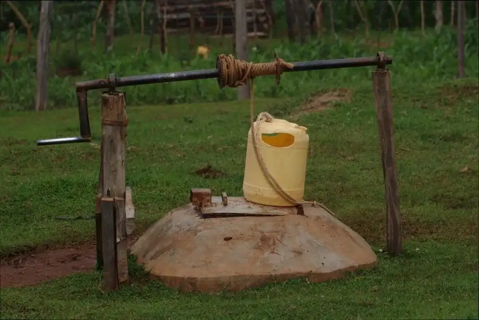
Our approach to water well drilling in Savannah begins with a thorough assessment of the site's position within the coastal plain aquifer system. We evaluate historical well logs and geologic maps to identify the most productive sand layers within the Upper Floridan aquifer, which is the primary target for reliable supply. The drilling process is then tailored to penetrate through the overlying sediments and properly case off shallow, poor-quality water zones. A key final step is the rigorous development of the well to maximize yield and ensure water clarity, a process detailed further in our guide to water well drilling.
Reference Technical Parameters
| Parameter | Reference Value |
|---|---|
| Predominant Soil Type | Unconsolidated sands, clays, and shells (Coastal Plain sediments) |
| Typical Groundwater Level (Surficial Aquifer) | 10 - 30 ft below ground surface |
| Target Aquifer Depth (Upper Floridan) | 150 - 400 ft below ground surface |
| Bedrock Depth (Crystalline Basement) | > 1,000 ft below ground surface |
| Maximum Seismic Acceleration (PGA) | 0.12g - 0.20g (Site Class D) |
Local Considerations — Savannah Georgia
1. **Geology & Aquifers**: The area is underlain by the Georgia Coastal Plain, with water primarily sourced from the surficial, intermediate, and Upper Floridan aquifers. The Upper Floridan, consisting of limestone and dolomite, is the major source but requires careful drilling to avoid saltwater intrusion near the coast. 2. **Groundwater Depth**: The water table is generally shallow but varies. Deeper drilling into the Upper Floridan is necessary for higher yields and better quality, especially for commercial applications. 3. **Seismic Context**: Savannah is in a low-to-moderate seismic zone. While not the primary design driver, proper well construction considers soil stability. 4. **Neighborhood Contrast**: Properties on the islands and near the coast face a high risk of saltwater intrusion, mandating precise well depth and construction, while inland areas contend with iron and manganese common in the aquifer. 5. **Typical Cases**: A standard residential well targets the Upper Floridan at 150-400 ft, requiring a hydrogeological survey to properly locate and design the well to avoid neighboring saltwater plumes or contaminated shallow zones. For larger-scale commercial needs, our team based out of our primary hub for water well drilling in Atlanta provides additional support and resources.
Request a Quote
Our team reviews your project and issues an initial report at no cost.
Or write us directly at [email protected]
Services in Savannah Georgia
Applicable Standards
- Georgia Well Water Standards Act
- Georgia Department of Natural Resources (DNR) Rules for Well Construction
- Chatham County Health Department Regulations
Frequently Asked Questions
What are the main soil and aquifer challenges for drilling a water well in Savannah?
The primary challenge is the layered sedimentary geology. Drillers must penetrate loose sands and clays to reach the productive limestone of the Upper Floridan aquifer, while carefully sealing off shallow, often brackish or contaminated water from the surficial aquifer. Near the coast, the precise control of well depth and screen placement is critical to prevent saltwater intrusion into the freshwater supply.
Are there specific seismic building codes that affect well construction in Savannah?
While Savannah is not in a high seismic zone like the West Coast, local building codes incorporate seismic design categories. For well construction, this primarily influences the structural integrity of the wellhead assembly and pump house foundations, ensuring they can withstand potential ground motion. Compliance with general durable construction practices typically satisfies these requirements.
Is a hydrogeological study mandatory before drilling a well in Chatham County?
While not always mandated by code for single-family residential wells on large lots, a professional hydrogeological survey is highly recommended and often required for commercial wells, municipal supply wells, or any project in designated Saltwater Intrusion Zones. It is essential for determining optimal well location, depth, and yield, and for securing the necessary permits from the Georgia DNR.