Methodology
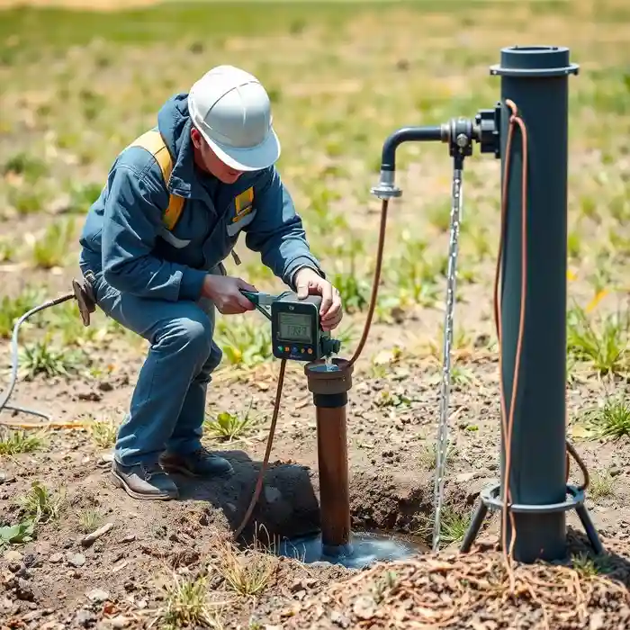
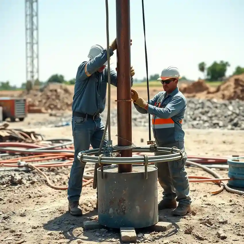
Our approach in the Santa Rosa area begins with a comprehensive pre-drilling assessment to understand the local hydrostratigraphy. We analyze geological maps, existing well logs, and regional groundwater studies to identify the most promising aquifer zones, whether in the valley alluvium or the fractured Sonoma Volcanics. This foundational work informs our precise water well drilling strategy, ensuring the well is optimally located, designed for the specific subsurface conditions, and developed to maximize sustainable yield while protecting water quality.
Reference Technical Parameters
| Parameter | Reference Value |
|---|---|
| Predominant Soil Type | Alluvial deposits (clay, silt, sand, gravel); Volcanic bedrock |
| Maximum Seismic Acceleration (PGA) | 0.4g - 0.6g (Seismic Zone 4, site-specific) |
| Typical Groundwater Level Depth | 15 - 100 ft below ground surface (highly variable) |
| Bedrock Depth | 0 ft (outcrop) to 150+ ft (valley center) |
| Typical Aquifer Yield | 5 - 50 gallons per minute (formation dependent) |
Local Considerations — Santa Rosa
Key local considerations for water well drilling in Santa Rosa include: 1) Highly variable subsurface conditions, with shallow, productive alluvial aquifers in the central valley and deeper, fractured bedrock aquifers in the eastern foothills. 2) Groundwater levels that exhibit seasonal fluctuations and have been impacted by prolonged drought cycles, necessitating careful depth planning. 3) Seismic activity requiring robust well casing design, particularly in areas with loose, saturated soils prone to liquefaction. 4) Contrasts between older, established neighborhoods with potential legacy contaminants and newer developments requiring initial groundwater resource development. 5) The critical need for a thorough hydrogeological survey to navigate these complexities and ensure regulatory compliance with Sonoma County ordinances and California state law.
Request a Quote
Our team reviews your project and issues an initial report at no cost.
Or write us directly at [email protected]
Services in Santa Rosa
Applicable Standards
- California Water Code
- Sonoma County Well Ordinance
- State Water Resources Control Board Regulations
Frequently Asked Questions
What are the main soil and rock types encountered during well drilling in Santa Rosa?
Santa Rosa's geology is characterized by two primary formations: the recent alluvial deposits of the Santa Rosa Plain, consisting of interbedded clays, silts, sands, and gravels, and the older Sonoma Volcanics, comprised of fractured basalt, andesite, and tuff. The alluvium often contains shallower, unconfined aquifers, while the volcanic bedrock can yield water from deep, confined fracture zones. Identifying the target formation is the first critical step in well design.
How does local seismic activity influence well construction standards?
Located in a high seismic hazard zone, Santa Rosa requires well construction that mitigates risks such as casing collapse or shear due to ground shaking and liquefaction. Our designs follow strict protocols for casing material strength, grouting, and wellhead security to ensure integrity during seismic events, protecting both the water source and the subsurface from contamination.
Is a hydrogeological study mandatory before drilling a well in Sonoma County?
While not universally mandatory for all properties, Sonoma County often requires a professional hydrogeological report for new well permits, especially in areas of known groundwater concern, for high-yield wells, or within certain groundwater basins. This study proves the availability of water and demonstrates that the well will not adversely impact neighboring wells or the aquifer, a key requirement for permit approval.