Methodology
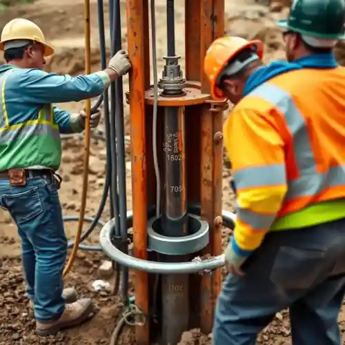
Our approach in Santa Clarita begins with a thorough understanding of the valley's alluvial fan and sedimentary basin geology. We assess historical well data and local aquifer behavior before determining optimal placement. The drilling process is adapted to the specific subsurface conditions, often involving rotary methods to penetrate through layers of sand, gravel, and clay before reaching productive water-bearing zones. A key step is the proper well development to ensure maximum yield and longevity, which we detail further in our water well drilling methodology.
Reference Technical Parameters
| Parameter | Reference Value |
|---|---|
| Predominant Soil Type | Alluvial Sand, Gravel, and Clay |
| Typical Groundwater Level | 15 - 150 ft below surface |
| Bedrock Depth (Saugus Fm.) | 100 - 400 ft |
| Maximum Seismic Acceleration (PGA) | 0.4g - 0.6g (Site Specific) |
| Typical SPT N60 Range | 10 - 50 (Variable with depth) |
Local Considerations — Santa Clarita
1. **Geology & Aquifers**: Primary water sources are the alluvial deposits of the Santa Clara River and the deeper Saugus Formation. Well depth and design vary significantly between the valley floor and surrounding hillsides. 2. **Groundwater Levels**: Subject to seasonal fluctuation and long-term recharge rates, requiring careful assessment during a hydrogeological survey. 3. **Seismic Activity**: Located in a seismically active region, well casing and construction must account for potential ground shaking and liquefaction in certain soil types. 4. **Local Contrasts**: Shallow water tables may be found near the river, while properties in Valencia or Canyon Country often require deeper drilling into consolidated materials. 5. **Regulatory Context**: Water rights are governed by the California State Water Resources Control Board and local ordinances, making proper permitting essential. For major regional projects, our water well drilling team based in Los Angeles provides additional support.
Request a Quote
Our team reviews your project and issues an initial report at no cost.
Or write us directly at [email protected]
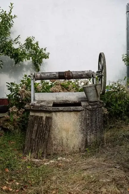
Services in Santa Clarita
Applicable Standards
- California Water Code
- Santa Clarita Municipal Code
- Los Angeles County Building Code
- SWRCB Well Standards
Frequently Asked Questions
What soil conditions are most common for water well drilling in Santa Clarita?
The Santa Clarita Valley primarily features unconsolidated alluvial deposits—layers of sand, gravel, silt, and clay. These materials are generally favorable for well development but require proper screening to prevent sand intrusion. In the northern areas, drilling may encounter the more consolidated sedimentary rocks of the Saugus Formation.
How does seismic activity influence well construction here?
High seismic design categories are common. Well design must consider potential liquefaction in saturated, loose granular soils and ground displacement. We employ construction techniques and materials, such as properly cemented annular seals and seismic-rated fittings, to mitigate these risks and ensure well integrity during seismic events.
Is a hydrogeological study mandatory before drilling a well in Santa Clarita?
While not always mandated for single residential wells, a professional hydrogeological study is highly recommended and often required for commercial or agricultural wells or in areas of known groundwater management. It is critical for determining sustainable yield, avoiding interference with neighboring wells, and securing the necessary permits from local and state authorities.