Methodology
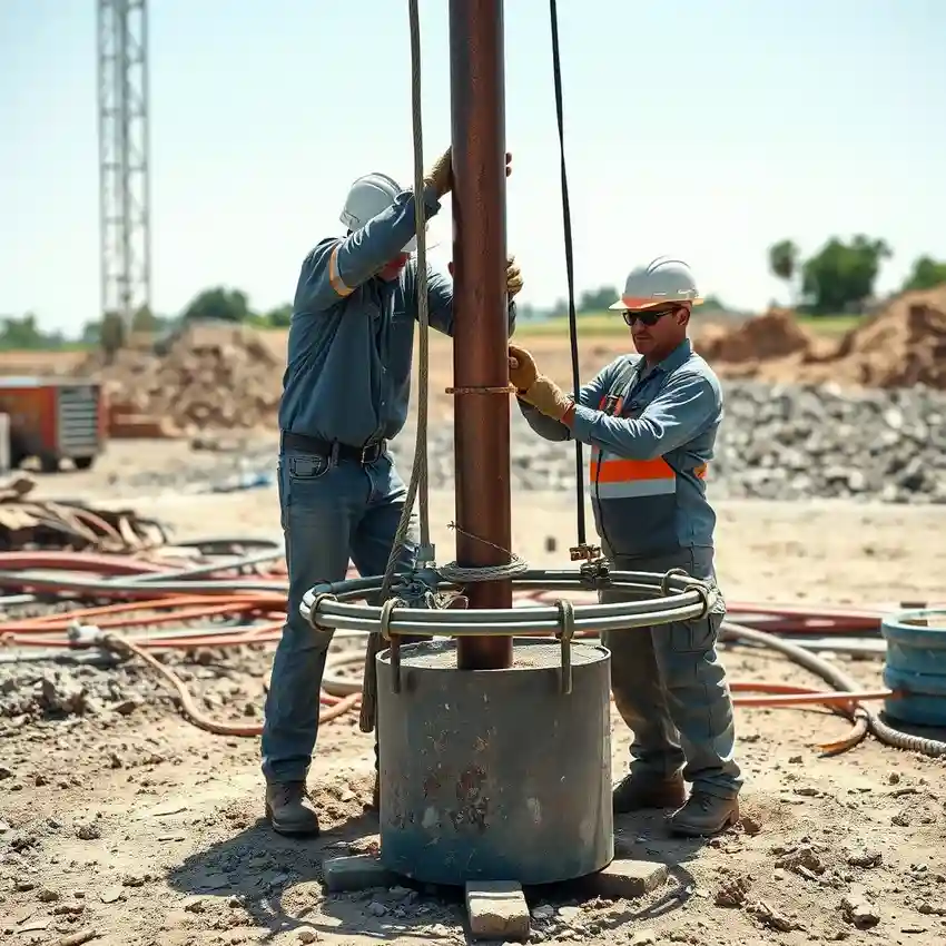
Our approach in Riverside begins with a comprehensive site assessment to understand the local subsurface conditions. This informs the strategic planning of the water well drilling operation. We select drilling techniques—such as rotary or cable tool—based on the anticipated soil and rock strata. Throughout the process, we meticulously log geological samples and monitor drilling parameters. The final development phase involves well development to maximize yield and water clarity, followed by systematic testing to accurately characterize the aquifer's sustainable capacity.
Reference Technical Parameters
| Parameter | Reference Value |
|---|---|
| Predominant Soil Type | Alluvial Sand, Silt, and Clay |
| Typical Groundwater Level | 30 - 150 ft below surface |
| Bedrock Depth | Highly Variable, 50 - 300+ ft |
| Maximum Seismic Acceleration (PGA) | 0.4g - 0.6g (Seismic Zone 4) |
| Typical Aquifer Material | Unconsolidated Alluvial Deposits |
Local Considerations — Riverside
Key local factors for water well drilling in Riverside include: 1) The heterogeneous alluvial soils, which can vary from loose sands to dense clays within short distances, impacting drilling speed and casing design. 2) Fluctuating groundwater levels influenced by seasonal precipitation and regional agricultural draw. 3) Seismic activity considerations that require robust well construction to maintain integrity. 4) Contrasts between the deeper, more productive aquifers in the Arlington area and shallower, more variable resources near the Jurupa Hills. 5) The critical need for a thorough hydrogeological survey prior to drilling to accurately target water-bearing zones and avoid dry holes or poor water quality layers. For large-scale or complex projects, our primary engineering team specializing in water well drilling in Los Angeles provides additional support.
Request a Quote
Our team reviews your project and issues an initial report at no cost.
Or write us directly at [email protected]
Services in Riverside
Applicable Standards
- California Water Code
- Riverside County Ordinance No. 460
- State Water Resources Control Board Regulations
Frequently Asked Questions
What are the main soil challenges for drilling a water well in Riverside?
Riverside's alluvial basin presents layers of unconsolidated sands, gravels, silts, and clays. These conditions can lead to caving boreholes during drilling, requiring careful use of drilling mud or casing. The variable grain sizes also influence well screen selection to prevent sand pumping while ensuring optimal water entry.
How does seismic activity affect well construction here?
Located in a high seismic zone, well design in Riverside must account for ground shaking. This involves proper grouting and sealing of the annular space to prevent aquifer contamination during an event, and ensuring the well casing and surface seal can withstand liquefaction or lateral spreading risks in susceptible soils.
Is a permit always required before drilling a water well in Riverside?
Yes. A permit from Riverside County's Environmental Health Department or relevant local water district is mandatory before any drilling begins. The process typically requires submitting a well location map, driller's license, and often a report detailing the intended construction and its compliance with spacing requirements from other wells or potential contamination sources.