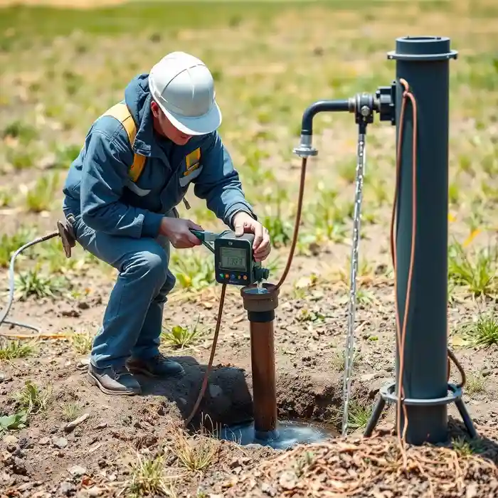
Methodology
Our methodology for Richmond begins with a comprehensive review of existing geologic maps, well logs from the Virginia Department of Health database, and site-specific reconnaissance. We assess the transition from unconsolidated coastal plain sediments to the crystalline bedrock of the Piedmont, which dictates the appropriate water well drilling technique. This phased approach ensures the identification of viable aquifers, whether in the sedimentary layers or fractured bedrock, and informs the design of a compliant and efficient well system tailored to the property's specific hydrogeologic setting.
Reference Technical Parameters
| Parameter | Reference Value |
|---|---|
| Predominant Soil Type | Clayey Saprolite over Crystalline Bedrock |
| Typical Groundwater Level | 10 - 100 ft (variable with topography) |
| Bedrock Depth (Piedmont) | 5 - 50 ft below surface |
| Maximum Seismic Acceleration (PGA) | 0.12g - 0.20g (Site Class Dependent) |
| Typical Standard Penetration Test (SPT) N60 Range | 10 - 40 blows/ft in overburden |
Local Considerations — Richmond Virginia
Richmond's geology is defined by the fall line, separating the Coastal Plain's unconsolidated sands and clays from the Piedmont's metamorphic and igneous bedrock. Groundwater availability shifts dramatically across this boundary. In eastern areas like Sandston, wells tap into the shallower, sedimentary aquifers, while in western neighborhoods such as Bon Air, successful wells require drilling into fractured bedrock. The region's low to moderate seismic activity is accounted for in well casing design. A critical first step for any property is a site-specific hydrogeological survey to determine the optimal approach, much like our foundational work for comprehensive water well drilling projects based in Philadelphia.
Request a Quote
Our team reviews your project and issues an initial report at no cost.
Or write us directly at [email protected]
Services in Richmond Virginia
Applicable Standards
- Virginia Department of Health (VDH) Water Well Regulations
- Virginia DEQ Groundwater Withdrawal Regulations
- Local County/City Well Construction Ordinances
Frequently Asked Questions
What soil and rock conditions are typical for water well drilling in Richmond, VA?
Conditions vary by location relative to the fall line. East of I-95, wells typically penetrate unconsolidated layers of sand, silt, and clay of the Coastal Plain. West of I-95, in the Piedmont, the overburden consists of clayey saprolite (weathered rock) overlying hard, crystalline bedrock like granite and gneiss. Successful wells in the Piedmont require intercepting water-bearing fractures in this bedrock, which necessitates careful geological assessment.
Are there specific seismic design considerations for wells in Richmond?
While not in a high seismic zone, Richmond is subject to seismic ground motion. Well design, particularly casing selection and grouting procedures, must consider potential liquefaction in saturated sandy soils near the James River and ground shaking that could affect well integrity. Our designs incorporate factors based on the site's seismic coefficient and soil class.
Is a hydrogeological study mandatory before drilling a water well in Richmond?
While not always mandated by code for single-family residential wells, a professional hydrogeological study is highly recommended and is often required for commercial or high-yield wells. It is a critical risk-mitigation step to determine probable well yield, appropriate depth, and to avoid costly dry holes, especially in the variable Piedmont geology. It also ensures compliance with state and local regulations regarding aquifer protection.