Methodology
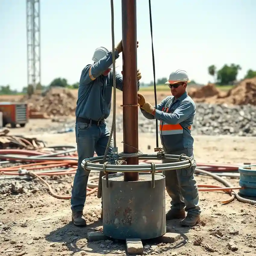
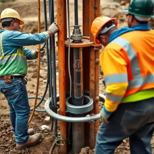
Our approach in Peoria begins with a thorough review of existing well logs and geologic surveys to understand the local stratigraphy. We then employ drilling techniques—typically rotary or cable tool—selected based on the anticipated soil conditions, from soft clays to dense till. The process is guided by continuous sample collection to accurately identify the water-bearing zones within the Mahomet Aquifer. Proper well construction, including screen selection and gravel pack design, is critical for long-term performance and water quality. This systematic water well drilling methodology ensures a reliable and code-compliant water source.
Reference Technical Parameters
| Parameter | Reference Value |
|---|---|
| Predominant Soil Type | Glacial Till (Clay, Silt, Sand, Gravel Mix) |
| Bedrock Depth (Approx.) | 100 - 300 ft below surface |
| Typical Groundwater Level | 20 - 50 ft below grade |
| Maximum Seismic Acceleration (PGA) | 0.1g - 0.2g (Site-Specific) |
| Typical SPT N60 Value Range | 10 - 50 blows/ft (Highly Variable) |
Local Considerations — Peoria Illinois
1. **Geology & Aquifer**: The region overlies the Mahomet Aquifer, a major sand and gravel aquifer confined by glacial till. Well yield is highly dependent on intersecting the thicker, coarser-grained channels within this system. 2. **Groundwater Level**: Water levels are generally shallow, often within 20 to 50 feet of the surface, but can vary with topography and proximity to the Illinois River. 3. **Seismic Context**: While seismic risk is moderate, local building codes may reference seismic design categories; proper well casing and grouting are essential for integrity. 4. **Neighborhood Contrast**: Older, central neighborhoods may have different soil compaction and potential legacy contaminants versus newer subdivisions on the outskirts. 5. **Typical Projects**: Common scenarios include replacing aging sand-point wells with deeper, cased wells to ensure consistent supply and quality, a process often paired with a professional pump installation. For major regional projects, our foundational work is supported by water well drilling services from our Chicago hub.
Request a Quote
Our team reviews your project and issues an initial report at no cost.
Or write us directly at [email protected]
Services in Peoria Illinois
Applicable Standards
- Illinois Water Well Construction Code (77 Ill. Adm. Code 920)
- Illinois Department of Natural Resources (IDNR) Regulations
- Local Peoria County Health Department Standards
Frequently Asked Questions
What soil and geological conditions are typical for water well drilling in Peoria?
Peoria's subsurface is dominated by glacial deposits. The upper layer consists of dense, heterogeneous glacial till (a mix of clay, silt, sand, and boulders), underlain by stratified outwash sands and gravels that comprise the Mahomet Aquifer. Successful drilling requires equipment and techniques capable of handling this variability to effectively screen the aquifer.
Are there specific seismic design considerations for wells in this area?
While not in a high seismic zone like the West Coast, Illinois has a moderate seismic hazard, particularly related to the New Madrid Seismic Zone. Well construction codes emphasize robust casing and proper annular grouting to maintain well integrity under any ground motion, protecting both the structure and groundwater quality.
Is a hydrogeological study required before drilling a new water well in Peoria?
While not always mandated by code for single-family residences, a professional [hydrogeological survey](/hydrogeological-survey/) is strongly recommended. It determines optimal well placement and depth to maximize yield and minimize interference with existing wells, and is crucial for commercial, agricultural, or high-capacity installations to ensure sustainable aquifer use.