Methodology
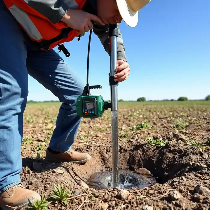
Our methodology for projects in Oxnard begins with a comprehensive review of existing hydrogeologic data for the Oxnard Plain, followed by a targeted field reconnaissance. We prioritize site selection based on aquifer depth, soil stratigraphy, and proximity to potential contamination sources. The subsequent water well drilling phase employs techniques suited to the unconsolidated sand and gravel formations, ensuring proper well construction to screen the target water-bearing zones. Each phase is documented to comply with California Department of Water Resources guidelines and local basin management plans.
Reference Technical Parameters
| Parameter | Reference Value |
|---|---|
| Predominant Soil Type | Unconsolidated sand, silt, and gravel |
| Maximum Seismic Acceleration (PGA) | 0.4g - 0.6g (Site Specific) |
| Typical Groundwater Level Depth | 20 - 150 ft below surface |
| Bedrock Depth | Greater than 500 ft in basin center |
| Typical SPT N60 Range | 5 - 50 (Highly variable with depth) |
Local Considerations — Oxnard
1. Geology & Hydrology: The Oxnard Plain comprises deep alluvial aquifers, including the Oxnard and Hueneme sub-basins, with groundwater levels heavily influenced by agricultural pumping and seasonal recharge. 2. Seismic Risk: Located in a region of moderate seismic activity, well design must account for liquefaction potential in loose, saturated sands. 3. Water Quality: A primary concern is the saline intrusion interface, requiring precise well depth and construction to extract freshwater. 4. Area Contrast: Well yields and depths vary significantly between the more permeable central plain and the finer-grained sediments near the coast. 5. Typical Projects: Systems often support agricultural irrigation or municipal backup supply, necessitating a thorough hydrogeological survey prior to development. For major regional operations, our water well drilling services from Los Angeles provide additional logistical support.
Request a Quote
Our team reviews your project and issues an initial report at no cost.
Or write us directly at [email protected]
Services in Oxnard
Applicable Standards
- California Water Code
- Ventura County Ordinance No. 5000
- Sustainable Groundwater Management Act (SGMA)
- DWR Well Standards
Frequently Asked Questions
What are the main soil and aquifer characteristics in Oxnard affecting well drilling?
The Oxnard Plain features layered, unconsolidated aquifers composed of interbedded sands, gravels, and clays deposited by the Santa Clara River. This stratification creates multiple water-bearing zones with varying yield and quality. Successful drilling requires accurately identifying and screening these productive layers while sealing off zones of poor quality or potential contamination.
How does seismic activity influence well construction standards in Oxnard?
Seismic design provisions, informed by local site class and liquefaction analysis, often mandate specific well casing materials, grouting procedures, and set depths to maintain structural integrity during ground shaking. These measures prevent well collapse and protect the aquifer from surface contamination through compromised seals.
Is a hydrogeological study mandatory before drilling a water well in Oxnard?
While not always mandated by code for every single-family well, a professional hydrogeological study is highly recommended and is often required by local groundwater sustainability agencies for larger-capacity wells. It is critical for determining sustainable yield, assessing water quality risks like salinity, and ensuring the well's design is optimized for the specific location, which is essential for permit approval.