Methodology
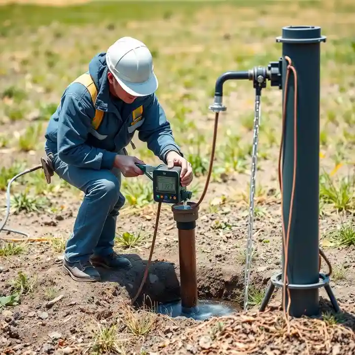
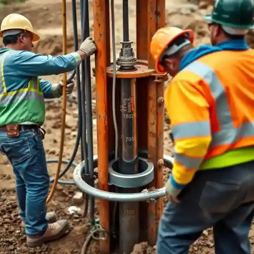
Our approach to water well drilling in Oceanside begins with a thorough assessment of the local hydrogeological framework. We analyze existing well logs, geological maps, and regional groundwater studies to understand the aquifer systems, primarily the San Luis Rey Valley and coastal plain aquifers. This pre-drilling analysis informs the optimal siting and design. The drilling process itself is tailored to the expected subsurface conditions, employing techniques suitable for penetrating the complex sequences of sand, gravel, clay, and occasional bedrock encountered. Every phase, from drilling and casing to well development, is executed with a focus on maximizing sustainable yield and protecting water quality, adhering to state and county standards. For a detailed breakdown of our process, see our page on water well drilling.
Reference Technical Parameters
| Parameter | Reference Value |
|---|---|
| Predominant Soil Type | Unconsolidated Alluvial Sands and Gravels, with interbedded Clays |
| Maximum Seismic Acceleration (PGA) | 0.4g - 0.6g (Site-Specific) |
| Typical Groundwater Level | 10 - 100 feet below ground surface (variable) |
| Bedrock Depth | 50 - 200+ feet (highly variable, shallower in eastern foothills) |
| Typical SPT N60 Range | 5 - 50 (Very Loose to Dense conditions) |
Local Considerations — Oceanside
1. **Geology & Aquifers**: Oceanside overlies the San Luis Rey Valley and coastal plain aquifers, consisting of unconsolidated alluvial and marine sediments. Productivity is highly dependent on the grain size and connectivity of these layers. 2. **Groundwater Depth**: The water table is relatively shallow inland but deepens towards the coast, influenced by pumping and seasonal recharge. 3. **Seismic Risk**: Located in a seismically active region, well design must consider liquefaction potential in saturated, loose sands, especially in lower-lying areas. 4. **Key Contrast**: Inland areas near the river often have more robust aquifers, while coastal zones require careful design to mitigate saltwater intrusion, a critical factor in our hydrogeological survey work. 5. **Typical Cases**: Residential wells in the hills often target deeper, fractured bedrock, while agricultural or large-scale commercial wells in the valley focus on high-yield alluvial zones. For major regional projects, our expertise extends from here, including comprehensive water well drilling services from our Los Angeles hub.
Request a Quote
Our team reviews your project and issues an initial report at no cost.
Or write us directly at [email protected]
Services in Oceanside
Applicable Standards
- California Water Code
- Oceanside Municipal Code
- State Water Resources Control Board Regulations
- Local Agency Management Plans for Groundwater
Frequently Asked Questions
What are the main soil and aquifer types encountered during water well drilling in Oceanside?
Oceanside's subsurface primarily consists of unconsolidated Quaternary alluvial deposits from the San Luis Rey River, transitioning to older marine terrace deposits and occasional bedrock towards the east. The productive aquifers are typically found in layers of clean sand and gravel within these alluvial sequences. Near the coast, finer-grained sediments and the risk of brackish water become significant factors influencing well design and depth.
How does local seismic activity influence well construction standards?
As part of a seismically active region, well construction in Oceanside must account for ground shaking and liquefaction potential. This influences critical design elements such as the selection and grouting of the well casing to ensure structural integrity during seismic events. Adherence to codes that address these hydrogeological hazards is non-negotiable for long-term well reliability and groundwater protection.
Is a hydrogeological study mandatory before drilling a water well in Oceanside?
While not always mandated by the city for single residential wells on large lots, a professional hydrogeological study is highly recommended and is often required for commercial, agricultural, or municipal wells. It is essential for identifying the optimal drill site, predicting yield, assessing water quality risks (like saltwater intrusion), and ensuring the well's design is suitable for local conditions, ultimately protecting your investment and the aquifer.