Methodology
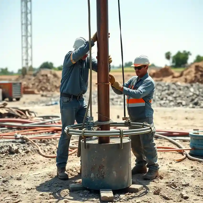
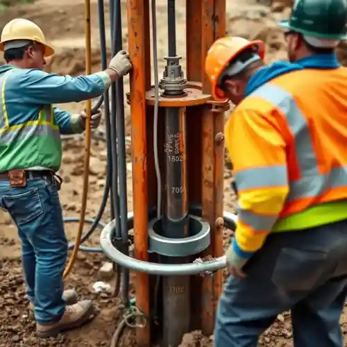
Our methodology for projects in Newark begins with a thorough review of available geological survey data and local well logs. We then conduct a site-specific assessment to identify the optimal location and target depth, considering the variable thickness of unconsolidated sediments overlying bedrock. The actual water well drilling process employs techniques suited to the local soil conditions, often involving rotary methods for efficiency in sandy strata and casing through unstable layers. Continuous monitoring during drilling allows for real-time adjustments to the well design.
Reference Technical Parameters
| Parameter | Reference Value |
|---|---|
| Predominant Soil Type | Glacial Till, Sand, Clay |
| Typical Groundwater Level | 15 - 50 ft (4.5 - 15 m) BGS |
| Bedrock Depth (Brunswick Formation) | Highly Variable, 30 - 200+ ft |
| Maximum Seismic Acceleration (PGA) | Site-Specific, per NEHRP maps |
| Typical Standard Penetration Test (SPT) N60 Range | 10 - 40 blows/ft in till |
Local Considerations — Newark
1. **Geology & Soils:** Newark's subsurface consists primarily of glacial till, outwash sands, and clays, with bedrock depth highly variable. This necessitates careful screening and casing design during drilling to prevent collapse and sand intrusion. 2. **Water Table:** Depth is influenced by topography and season, requiring pre-construction assessment to avoid under- or over-estimating well depth. 3. **Seismic Context:** While not the highest risk zone, the area is subject to seismic provisions per local building codes, influencing well casing and construction standards. 4. **Urban Contrasts:** Conditions differ markedly between the Ironbound district's filled lands and the more natural substrates of the Forest Hill area, directly impacting drilling strategy. 5. **Typical Projects:** Most residential wells target the shallow unconfined aquifer, while deeper, more complex hydrogeological survey work is often required for commercial or high-yield applications. For major regional projects, our primary hub coordinates resources; learn more about our comprehensive water well drilling services from our New York team.
Request a Quote
Our team reviews your project and issues an initial report at no cost.
Or write us directly at [email protected]
Services in Newark
Applicable Standards
- New Jersey Department of Environmental Protection (NJDEP) Well Construction Standards
- Essex County Health Department Regulations
- Local Newark Municipal Codes
- Safe Drinking Water Act (SDWA) provisions
Frequently Asked Questions
What soil conditions in Newark most affect water well drilling?
The presence of heterogeneous glacial deposits, including boulders and dense till, presents the primary challenge. These conditions can cause drilling tool deflection, slow progress, and require robust casing. A proper site evaluation is crucial to anticipate these layers and select the appropriate drilling method.
Are there specific seismic regulations for well construction in Newark?
While New Jersey has seismic design zones, well construction codes primarily focus on sanitary protection and structural integrity against collapse. However, for engineered structures or in areas with known liquefaction potential, the well design may need to consider seismic loads as part of a broader hydrogeological assessment.
Is a hydrogeological study mandatory before drilling a well in Newark?
For most single-family residential properties, a basic site evaluation is typically sufficient. However, for commercial, industrial, or municipal use, or for properties within designated groundwater management areas, the NJDEP often requires a formal hydrogeological study to assess aquifer capacity and potential impacts.