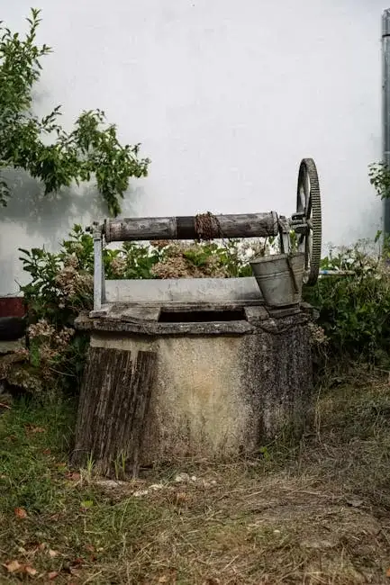
Methodology
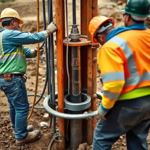
Our approach in Murfreesboro begins with a thorough site evaluation to understand the local stratigraphy. We assess geological maps and historical well data to identify the most promising target zone, whether in the unconsolidated Quaternary deposits or the fractured bedrock. The subsequent water well drilling phase is tailored to the anticipated conditions, utilizing appropriate techniques to efficiently penetrate the overburden and competent rock. Throughout the process, we conduct cuttings analysis and geophysical logging to confirm the aquifer location and characteristics, ensuring the final well construction is optimized for longevity and performance.
Reference Technical Parameters
| Parameter | Reference Value |
|---|---|
| Predominant Near-Surface Soil Type | Clayey silt and silty clay (Alluvial deposits) |
| Typical Bedrock Depth | 20 to 80 feet below ground surface |
| Maximum Seismic Acceleration (PGA) | 0.10g to 0.15g (Site Class D) |
| Typical Groundwater Level (Seasonal) | 10 to 50 feet below ground surface |
| Typical Standard Penetration Test N60 Value (Overburden) | 5 to 20 blows/foot |
Local Considerations — Murfreesboro
1. **Geology & Aquifers**: The area is underlain by the Central Basin, featuring shallow alluvial deposits overlying Ordovician limestone. Reliable yields often require drilling into the fractured and karstic bedrock of the Stones River Group. 2. **Groundwater Level**: Highly variable, from near-surface in floodplains along the Stones River to over 50 feet deep in elevated areas, influencing pump placement. 3. **Seismic Context**: Located in a moderate seismic zone, well casing and grouting must consider potential ground motion. 4. **Neighborhood Contrast**: Older neighborhoods may have shallower, weathered bedrock, while new developments on former agricultural land can have significant clay overburden. 5. **Typical Cases**: A pre-construction hydrogeological survey is critical to avoid drilling into localized zones of low permeability or poor water quality, common in this geologically diverse area. For major regional projects, our primary operations hub provides extensive support for water well drilling services from our Atlanta team.
Request a Quote
Our team reviews your project and issues an initial report at no cost.
Or write us directly at [email protected]
Services in Murfreesboro
Applicable Standards
- Tennessee Department of Environment & Conservation (TDEC) Water Well Regulations
- Rutherford County Building Codes
- ASTM D5092 (Standard Penetration Test)
- National Ground Water Association (NGWA) Standards
Frequently Asked Questions
What are the main soil and rock challenges for water well drilling in Murfreesboro?
The primary challenge is the heterogeneity. Surface layers consist of soft, unconsolidated clays and silts that can cave during drilling. Underneath, the limestone bedrock is often fractured and karstic, which can provide excellent water yield but also poses risks of drilling fluid loss or encountering unpredictable void spaces. Proper identification of the competent bedrock surface is crucial.
Are there specific seismic design considerations for wells in this area?
Yes. While not a high-hazard zone, Murfreesboro is subject to moderate seismic risk from the New Madrid and Eastern Tennessee seismic zones. Well design must account for potential ground shaking. This typically involves proper grouting of the annular space to prevent aquifer contamination and secure the casing, as well as ensuring the structural integrity of the wellhead assembly.
Is a hydrogeological study mandatory before drilling a water well in Rutherford County?
While not always mandated by code for every single-family residence, a professional hydrogeological study is strongly recommended and is often required for commercial properties or subdivisions. TDEC regulations require a licensed driller and proper permitting, which are based on an understanding of local geology. Skipping the study significantly increases the financial and technical risk of a non-productive well.