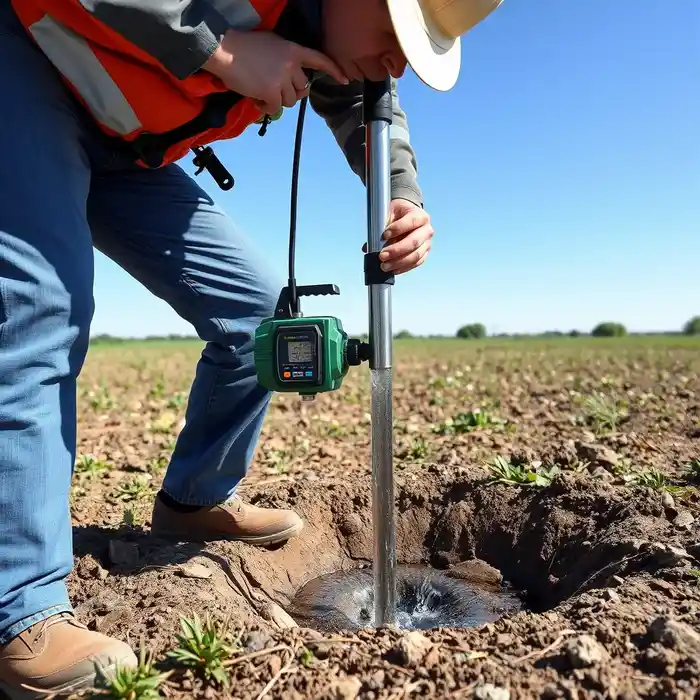
Methodology
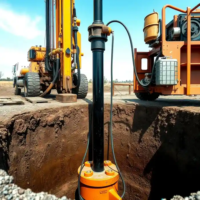
Our approach in Missoula begins with a thorough review of existing geological surveys and well logs to understand the subsurface conditions specific to the valley. This foundational knowledge informs our strategic water well drilling process, which is adapted to the heterogeneous sediments of the Missoula Formation. We prioritize site-specific evaluations to determine optimal well placement, depth, and construction methods, ensuring each project is tailored to the unique hydrological characteristics and intended water use of the client.
Reference Technical Parameters
| Parameter | Reference Value |
|---|---|
| Predominant Soil Type | Heterogeneous Glacial Outwash (Sand, Gravel, Silt) |
| Typical Groundwater Level | 10 - 50 ft below ground surface |
| Estimated Bedrock Depth | Highly Variable, 50 - 200+ ft |
| Maximum Seismic Acceleration (PGA) | Site-Specific, per USGS Seismic Design Maps |
| Typical Standard Penetration Test (SPT) N60 Range | Wide range, from <10 (loose) to >30 (dense), dependent on stratum |
Local Considerations — Missoula
Missoula's groundwater landscape is defined by the unconsolidated, highly variable sediments of the Missoula Formation, comprising glacial outwash, lacustrine deposits, and river terraces. The water table is generally shallow, often within 10 to 50 feet of the surface, but exhibits significant seasonal fluctuation and spatial variability due to the complex depositional history. Seismic activity, influenced by nearby faults, requires well design considerations for liquefaction potential in saturated, loose granular layers. Contrasts are evident between the deeper, more productive aquifers in the valley center and the thinner, more restrictive layers near the foothills. A professional hydrogeological survey is strongly advised prior to any drilling to accurately characterize these conditions. For broader regional expertise, our team also provides comprehensive water well drilling services from our Seattle hub.
Request a Quote
Our team reviews your project and issues an initial report at no cost.
Or write us directly at [email protected]
Services in Missoula
Applicable Standards
- Montana Department of Natural Resources and Conservation (DNRC) Well Construction Standards
- Missoula City-County Health Department Regulations
- Environmental Protection Agency (EPA) Underground Injection Control (UIC) Guidelines
Frequently Asked Questions
How does the soil composition in the Missoula Valley affect well drilling?
The heterogeneous mix of sands, gravels, and silts in the Missoula Formation directly impacts drilling method selection, well screen design, and development techniques. Layers of fine silt can reduce well yield and require careful development to prevent sanding, while coarse gravel layers offer higher potential yields but may require specialized stabilization during drilling.
Are there specific seismic design requirements for water wells in Missoula?
While Montana well construction codes primarily focus on sanitary protection, prudent engineering practice in Missoula County considers seismic hazards. Well design in areas with loose, saturated soils may require additional measures, such as proper grouting and casing selection, to mitigate risks associated with ground shaking and potential liquefaction.
Is a hydrogeological study mandatory before drilling a well on my property?
While not always mandated by code for single-family residential wells, a site-specific hydrogeological study is highly recommended in Missoula due to the complex and variable aquifer system. It is essential for predicting sustainable yield, ensuring proper well placement away from contamination sources, and avoiding interference with neighboring wells, which is a critical consideration in densely populated areas of the valley.