Methodology
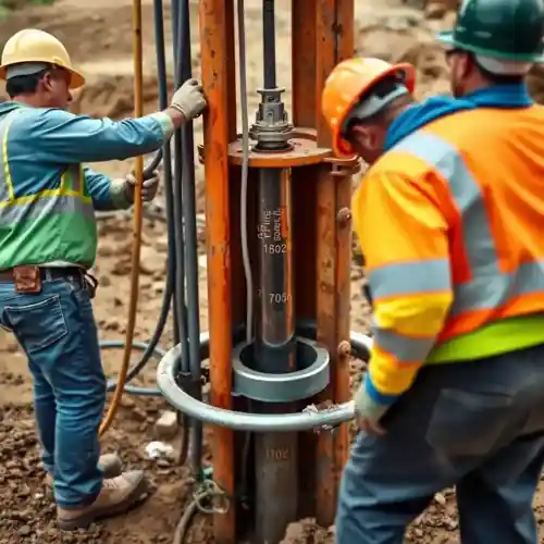
Our approach to water well drilling in Mckinney begins with a thorough understanding of the local hydrogeology. We assess the specific characteristics of the Trinity and Woodbine aquifers, utilizing regional data and site-specific analysis to determine optimal well placement and depth. The drilling process is then executed with precision, employing techniques suited to the encountered lithology—from unconsolidated sediments to harder rock formations. Each phase, from initial hydrogeological survey to final development, is conducted with strict adherence to Texas state regulations and local county guidelines to ensure a compliant and productive well.
Reference Technical Parameters
| Parameter | Reference Value |
|---|---|
| Predominant Soil Type (Overburden) | Clay, Sand, and Gravel |
| Typical Bedrock Depth | 50 - 100 ft |
| Typical Groundwater Level (Trinity Aquifer) | 150 - 400 ft BGS |
| Maximum Seismic Acceleration (PGA) | < 0.1g (Low Seismicity) |
| Primary Aquifer Formation | Trinity Group (Paluxy Sandstone) |
Local Considerations — Mckinney Texas
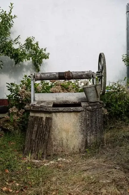
1. **Geology & Aquifers**: Mckinney sits atop the Trinity Group aquifers, primarily the Paluxy and Twin Mountains formations, which consist of interbedded sandstones, limestones, and shales. Water quality and yield can vary significantly with depth and location. 2. **Groundwater Level**: The static water level is influenced by seasonal precipitation and regional pumping, typically ranging from 150 to 400 feet below ground surface. 3. **Seismic Activity**: While considered low-risk, the area is within a zone of minor seismic activity; however, this is not a primary design factor for standard residential pump installation. 4. **Neighborhood Contrasts**: Older, central properties may have shallower, older wells, while newer developments in western Mckinney often require deeper drilling into more confined aquifers. 5. **Typical Cases**: A common scenario involves drilling through approximately 50-100 feet of overburden (clay, sand, gravel) before entering the water-bearing sandstone bedrock of the Trinity Aquifer. For complex projects requiring deeper regional expertise, our team leverages extensive experience from our primary hub, offering comprehensive water well drilling services from our Houston office.
Request a Quote
Our team reviews your project and issues an initial report at no cost.
Or write us directly at [email protected]
Services in Mckinney Texas
Applicable Standards
- Texas Administrative Code (TAC) Chapter 290
- Texas Water Development Board (TWDB) Guidelines
- Collin County Specific Regulations
- Texas Commission on Environmental Quality (TCEQ) Standards
Frequently Asked Questions
What type of soil and rock formations are typically encountered during well drilling in Mckinney?
Drilling typically progresses through a layer of unconsolidated overburden—clays, sands, and gravels—before reaching the bedrock of the Trinity Group. This bedrock primarily consists of fractured sandstones and limestones, which are the primary water-bearing zones. The specific sequence and depth of these layers can vary across the city, influencing drilling methods and well design.
Are there specific seismic design requirements for water wells in Mckinney, Texas?
No, Mckinney is located in a region of very low seismic hazard. Standard well construction practices as defined by the Texas Commission on Environmental Quality (TCEQ) and local county regulations are sufficient. Seismic acceleration values are not a governing factor for the structural design of typical residential or agricultural water wells in this area.
Is a hydrogeological study mandatory before drilling a water well on my property in Mckinney?
While not always legally mandatory for every single-family residential well, a professional hydrogeological survey is highly recommended. It is crucial for identifying the optimal drill site, estimating sustainable yield, assessing potential water quality issues, and ensuring compliance with all spacing and setback requirements from existing wells and potential contamination sources, as per Collin County and TCEQ rules.