Methodology
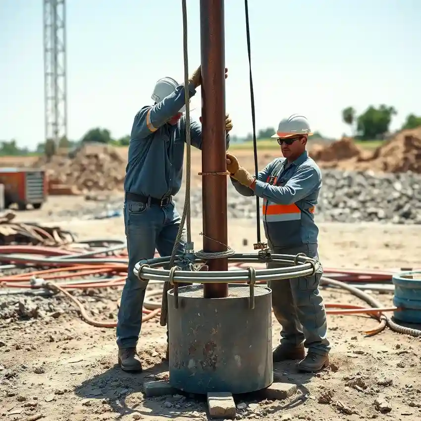
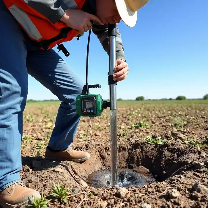
Our approach for Madison begins with a comprehensive review of regional hydrogeological maps and existing well data to understand the stratigraphy of glacial deposits. We then conduct a site-specific assessment to identify the most productive aquifer zones, whether in the shallow sand and gravel units or deeper bedrock formations. The subsequent water well drilling phase employs techniques suited to the unconsolidated soils and potential bedrock fractures encountered, followed by proper well development to ensure optimal yield and water clarity, all while adhering to Wisconsin Department of Natural Resources (WDNR) codes.
Reference Technical Parameters
| Parameter | Reference Value |
|---|---|
| Predominant Soil Type | Glacial Till, Sand & Gravel Outwash |
| Bedrock Depth (Typical) | 50 - 200 feet (Highly Variable) |
| Typical Groundwater Level | 10 - 50 feet below surface |
| Maximum Seismic Acceleration (PGA) | Low Seismicity Region |
| Primary Aquifer Material | Sand & Gravel; Sandstone |
Local Considerations — Madison
1. **Geology & Aquifers**: Madison sits atop a sequence of glacial till, outwash sands and gravels, and the underlying Cambrian sandstone bedrock. The sand and gravel aquifers are high-yield but variable in thickness. 2. **Groundwater Level**: Typically ranges from 10 to 50 feet below ground surface, influenced by proximity to lakes Mendota, Monona, and the Yahara River. 3. **Seismic Activity**: Considered low risk; however, foundation design for wellhead structures considers standard regional parameters. 4. **Neighborhood Contrast**: The Isthmus area may have more shallow bedrock, while the west side near the Terminal Moraine features thicker, complex glacial deposits requiring detailed hydrogeological survey for optimal well placement. 5. **Typical Cases**: Residential wells often tap shallow sand and gravel aquifers, while higher-capacity commercial or agricultural wells may target deeper sandstone. A thorough understanding of local conditions is critical, much like our foundational work for water well drilling projects originating from our Chicago hub.
Request a Quote
Our team reviews your project and issues an initial report at no cost.
Or write us directly at [email protected]
Services in Madison
Applicable Standards
- Wisconsin Administrative Code NR 812 (Well Construction and Pump Installation)
- WDNR Well Construction & Pump Installation Standards
- Local County and City Ordinances
Frequently Asked Questions
How do Madison's glacial soils impact water well drilling?
The heterogeneous nature of glacial till, interbedded with lenses of sand and gravel, creates unpredictable aquifer conditions. Successful drilling requires identifying continuous, water-bearing sand and gravel strata. Erratic boulders are common, and the variable depth to bedrock significantly influences drilling method selection and cost estimation.
What are the key regulatory requirements for a new well in Madison?
All wells must be constructed by a licensed well driller and comply with WDNR NR 812. This includes obtaining a permit, maintaining strict setbacks from contamination sources, using approved materials, and submitting a well construction report. A [pump installation](/pump-installation/) must also be performed by a licensed professional following code.
Is a hydrogeological study always required before drilling a well in this area?
While not always legally mandated for single-family homes, a pre-drilling hydrogeological assessment is highly recommended due to the variable subsurface conditions. It significantly reduces the risk of drilling a low-yield or dry well by identifying the most promising aquifer target and optimal depth, ensuring a cost-effective and reliable water supply.