Methodology
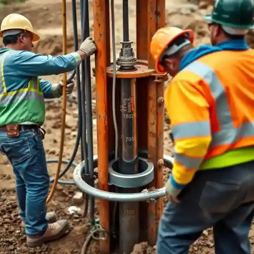
Our approach in Louisville begins with a thorough assessment of site-specific conditions. We analyze regional aquifer data, primarily focusing on the sand and gravel deposits of the Ohio River alluvial aquifer and the deeper limestone formations of the Kentucky karst terrain. This foundational understanding guides our water well drilling strategy, from selecting the appropriate drilling method—be it rotary for deeper bedrock wells or cable tool for unconsolidated materials—to designing a well completion that maximizes yield and longevity while protecting the aquifer integrity.
Reference Technical Parameters
| Parameter | Reference Value |
|---|---|
| Predominant soil type | Clay, silt, and alluvial sand/gravel |
| Bedrock depth (typical) | 20 - 100 ft (variable with topography) |
| Typical groundwater level | 10 - 50 ft below ground surface |
| Maximum seismic acceleration (PGA) | Site-specific, per IBC seismic design maps |
| Typical SPT N60 value range | 5 - 30 blows/ft (highly variable with stratum) |
Local Considerations — Louisville
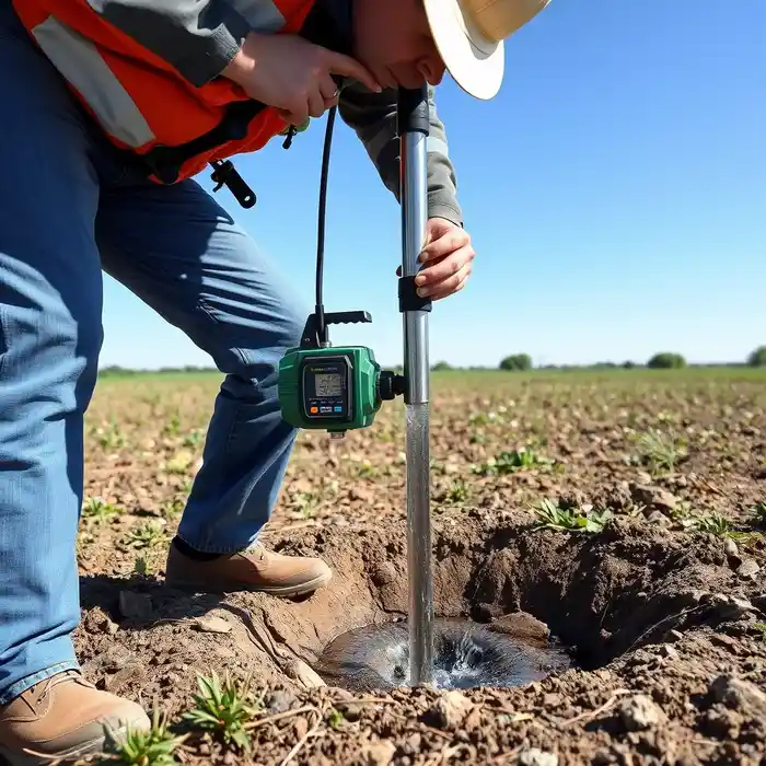
Louisville's geology presents distinct challenges for groundwater development. The city sits on the edge of the New Madrid Seismic Zone, requiring well casings and designs to consider potential seismic loads. Groundwater levels are generally shallow in the river floodplain but can drop significantly in upland areas underlain by limestone. Neighborhoods like the Highlands, situated on older, weathered rock, may encounter different water quality and yield issues compared to properties in the river valley's alluvial deposits. A common scenario involves navigating through layers of clay and silt to reach productive gravel beds, a process where our expertise in hydrogeological survey is critical. For major regional projects or specialized expertise, our team also provides comprehensive water well drilling services from our Chicago hub.
Request a Quote
Our team reviews your project and issues an initial report at no cost.
Or write us directly at [email protected]
Services in Louisville
Applicable Standards
- Kentucky Division of Water Well Construction Regulations (401 KAR 6:310)
- Local Jefferson County Well Ordinance
- International Building Code (IBC) Seismic Provisions
Frequently Asked Questions
What are the main soil and rock types encountered during well drilling in Louisville?
Drilling typically progresses through unconsolidated Quaternary deposits—clays, silts, and alluvial sands and gravels—before reaching bedrock. The bedrock is primarily composed of limestone and shale formations, which are part of the Kentucky karst landscape. This karst geology can lead to variable well yields and requires careful assessment to locate productive fractures or conduits.
How does Louisville's location near a seismic zone affect well construction?
Proximity to the New Madrid Seismic Zone necessitates that well design considers seismic resilience. This often involves using stronger, properly cemented casing through unstable zones to prevent collapse during ground shaking. Wellhead completion must also be secured against displacement. All designs are evaluated in accordance with the seismic parameters defined in the current International Building Code for the specific site location.
Is a hydrogeological study mandatory before drilling a water well in Louisville?
While not always mandatory for every single-family residential well, a professional hydrogeological study is highly recommended and is often required for commercial, agricultural, or high-yield wells. It is essential for determining the optimal location, anticipated depth, yield, and water quality, and is a critical component of the permit application submitted to the Kentucky Division of Water.