Methodology
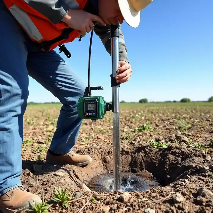
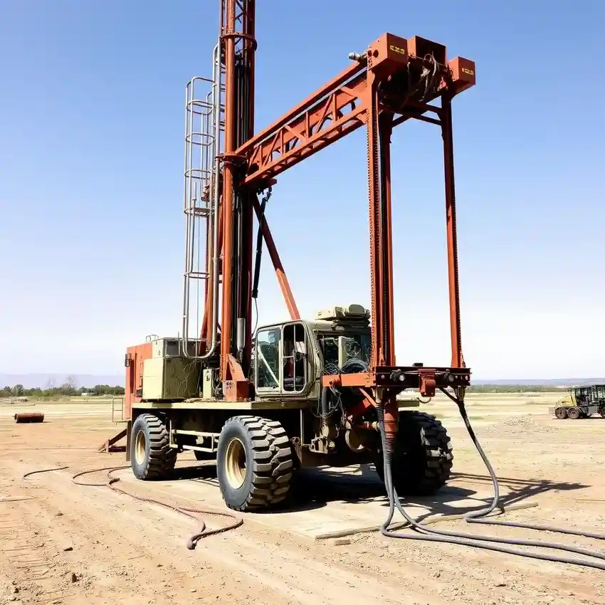
Our approach in Little Rock begins with a thorough site assessment to understand the subsurface conditions. We then proceed with precision drilling, selecting the appropriate method—typically rotary or cable tool—based on the specific geology encountered, such as the unconsolidated alluvial deposits or the sedimentary bedrock. The process includes careful casing installation, well development to maximize yield, and systematic testing. For a detailed breakdown of our technical process, please refer to our dedicated page on water well drilling.
Reference Technical Parameters
| Parameter | Reference Value |
|---|---|
| Predominant Soil Type | Alluvial Silts, Clays, and Sands |
| Bedrock Depth | 20 - 150 ft (variable) |
| Typical Groundwater Level | 20 - 100 ft below surface |
| Maximum Seismic Acceleration (PGA) | Low (Site-specific evaluation recommended) |
| Typical Aquifer Yield | 5 - 50 gallons per minute |
Local Considerations — Little Rock
1. **Geology & Aquifers**: Little Rock sits atop the Gulf Coastal Plain aquifers, primarily the Sparta Sand and the Cockfield Formation. Water-bearing zones are often found within these sandy layers, interbedded with clays. 2. **Groundwater Level**: The water table depth is variable, typically ranging from 20 to 100 feet below ground surface, influenced by topography and proximity to the Arkansas River. 3. **Seismic Context**: While not in a high seismic zone, the region's geology requires stable well construction practices. 4. **Neighborhood Contrast**: Properties in the western foothills may encounter shallower bedrock, while river valley locations deal with deeper alluvial deposits and potential sand content affecting pump selection. A professional hydrogeological survey is key to navigating these variables. 5. **Typical Case**: A common scenario involves drilling through 50 feet of overburden to reach the productive sands of the Sparta aquifer, requiring careful screen design to prevent sand intrusion.
Request a Quote
Our team reviews your project and issues an initial report at no cost.
Or write us directly at [email protected]
Services in Little Rock
Applicable Standards
- Arkansas Department of Health Rules & Regulations Pertaining to Water Well Construction
- Arkansas Natural Resources Commission (ANRC) Guidelines
- Local Little Rock/Pulaski County Codes
Frequently Asked Questions
What are the common soil and rock types encountered during well drilling in Little Rock?
Drilling typically progresses through layers of unconsolidated Quaternary alluvial deposits—clays, silts, and sands—before reaching the sedimentary bedrock of the Gulf Coastal Plain, primarily consisting of sandstones, clays, and occasional limestone layers of the Sparta and Cockfield formations.
What local regulations govern water well drilling in Little Rock?
All well construction is regulated by the Arkansas Department of Health and the Arkansas Natural Resources Commission (ANRC). This includes mandatory permitting, adherence to strict construction standards (casing, grouting), and proper well abandonment procedures. Local county codes may impose additional requirements.
Is a pre-drilling hydrogeological study always required?
While not always legally mandated for every single-family residence, a professional hydrogeological survey is highly recommended. It identifies the optimal drilling location, estimates depth and yield, and assesses potential water quality issues, ultimately saving time and cost by reducing the risk of a low-yield or poor-quality well.