Methodology
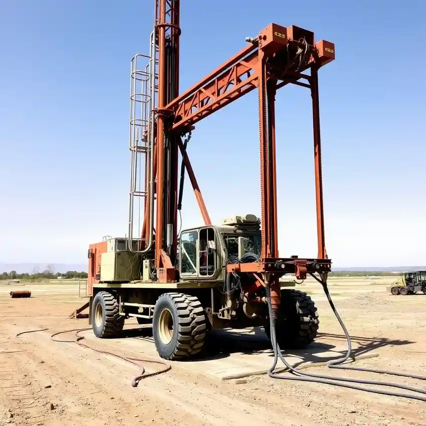
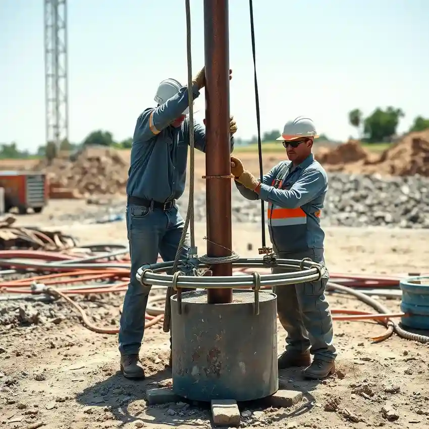
Our approach in Huntsville begins with a comprehensive site assessment to understand the subsurface conditions, which is critical before any water well drilling commences. We analyze regional geological maps, local well logs, and conduct field reconnaissance to identify the most promising aquifer targets, whether in the deep Knox Group formations or shallow alluvial sands. This preliminary phase informs the drilling strategy, guiding equipment selection and well design to match the expected ground conditions, from hard, fractured dolomite to unconsolidated gravels, optimizing the success and longevity of the water well.
Reference Technical Parameters
| Parameter | Reference Value |
|---|---|
| Predominant Soil/Rock Type | Limestone/Dolomite (Karst), Shale, Alluvial Deposits |
| Maximum Seismic Acceleration (PGA) | 0.1g - 0.2g (Site-Specific) |
| Typical Groundwater Level | 10 - 100 ft below surface |
| Bedrock Depth | 0 - 50 ft (Highly Variable) |
| Typical Aquifer Yield | 5 - 50 GPM (Fracture-Dependent) |
Local Considerations — Huntsville
Huntsville's groundwater landscape is defined by five key factors. First, the predominant geology shifts from karstic limestone in western sectors to shale and sandstone in the east, directly influencing well yield and development techniques. Second, the water table depth is highly variable, often shallow near river systems but requiring deeper drilling on upland plateaus. Third, local seismic activity and building codes mandate specific well casing and grouting standards to ensure integrity. Fourth, neighborhoods like those over the Fort Payne Chert may encounter challenging, low-yield fractured rock, while areas in the Tennessee River Valley often tap productive alluvial aquifers. Fifth, a thorough hydrogeological survey is strongly advised to mitigate risks of drilling into dry fractures or contaminated shallow zones, a service our team in Atlanta also emphasizes for regional projects like water well drilling services from our Atlanta hub.
Request a Quote
Our team reviews your project and issues an initial report at no cost.
Or write us directly at [email protected]
Services in Huntsville
Applicable Standards
- Alabama Department of Environmental Management (ADEM) Regulations
- Local County Well Construction Codes
- International Building Code (IBC) Seismic Provisions
Frequently Asked Questions
What are the main soil and rock challenges for drilling a water well in Huntsville?
The primary challenges involve the karstic limestone terrain, which can present unpredictable fracture zones, cavities, and variable water yields. Drilling through these formations requires specialized equipment and experience to successfully locate and develop productive fractures. In contrast, areas with thick layers of shale or unconsolidated clay can pose difficulties with borehole stability and drilling fluid management.
How does Huntsville's seismic activity influence well construction?
While considered a low-to-moderate seismic zone, local building codes derived from the International Building Code require considerations for ground shaking. For water wells, this often translates into stricter standards for well casing selection, centralization, and the quality and extent of the sanitary grout seal to prevent aquifer contamination and ensure structural longevity during a seismic event.
Is a pre-drilling hydrogeological study mandatory in Madison County?
While not always mandated by code for every residential well, a professional hydrogeological study is highly recommended, especially for commercial or high-yield needs. Given the geological complexity, such a study significantly reduces the risk of drilling a non-productive or low-yielding well, providing critical data on aquifer depth, expected yield, and optimal well placement to justify the investment.