Methodology
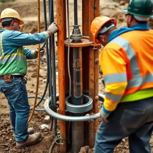
Our approach in Hampton begins with a thorough review of available geological surveys and well logs from adjacent properties to understand the subsurface stratigraphy. We then proceed with site-specific investigation to pinpoint the optimal location for water well drilling, considering factors like set-back distances and potential contamination sources. The drilling process is adapted to the unconsolidated sands, clays, and gravels typical of the Atlantic Coastal Plain, utilizing techniques that ensure well stability and efficiency. Each phase is documented to confirm compliance with state and local regulations.
Reference Technical Parameters
| Parameter | Reference Value |
|---|---|
| Predominant Soil Type | Unconsolidated Sands, Silts, and Clays |
| Typical Groundwater Level (ft BGS) | 10 - 30 ft (variable seasonally) |
| Typical Target Aquifer Depth (ft BGS) | 100 - 400 ft |
| Maximum Seismic Acceleration (PGA) | 0.12g - 0.20g (Site Class D) |
| Bedrock Depth (ft BGS) | Generally > 1000 ft (Coastal Plain sediments) |
Local Considerations — Hampton Virginia
Hampton's geology presents distinct considerations for groundwater development. The area is underlain by the unconsolidated sediments of the Coastal Plain, with interbedded aquifers and confining units. Shallow groundwater levels are generally high but can be brackish near the shoreline, necessitating deeper drilling into the Potomac or Yorktown-Eastover aquifers for fresh water. Seismic risk is moderate, influenced by regional tectonic features, requiring standard seismic design considerations for well casing. Neighborhoods like Fox Hill, with its slightly higher elevations, may offer more favorable conditions for shallower wells compared to low-lying areas near the Back River. A common scenario involves navigating a thick layer of Pleistocene sand before reaching a productive water-bearing zone. For complex sites, a preliminary hydrogeological survey is highly recommended to assess aquifer yield and water quality, similar to our approach for major projects like our comprehensive water well drilling services based in Philadelphia.
Request a Quote
Our team reviews your project and issues an initial report at no cost.
Or write us directly at [email protected]
Services in Hampton Virginia
Applicable Standards
- Virginia Well Construction Standards (12VAC5-630)
- Hampton City Code, Chapter 17 - Water
- Virginia Department of Health (VDH) Regulations
Frequently Asked Questions
What are the common soil and aquifer conditions for water well drilling in Hampton?
Hampton is situated on the Atlantic Coastal Plain, characterized by layered sequences of unconsolidated sand, silt, clay, and gravel. These layers form several important aquifers, such as the Yorktown-Eastover and Potomac aquifers. The lack of bedrock at shallow depths means well design focuses on proper screen and filter pack selection in these granular materials to prevent sand intrusion and ensure well efficiency.
Are there specific seismic design requirements for wells in Hampton Virginia?
While not in a high seismic zone like the West Coast, Hampton is subject to building codes that account for regional seismic hazard. Well construction standards generally incorporate requirements for casing integrity and grouting to maintain sanitary protection under dynamic loads, aligning with the seismic parameters defined for Site Class D soils prevalent in the area.
Is a preliminary groundwater study mandatory before drilling a well in Hampton?
While not always mandated by the city for single residential properties, the Virginia Department of Health strongly recommends and often requires a site evaluation for commercial wells or in areas with known water quality issues. Given the variable salinity and complex aquifer geometry, a professional assessment is considered a best practice to ensure regulatory compliance and a successful, long-lasting well.