Methodology
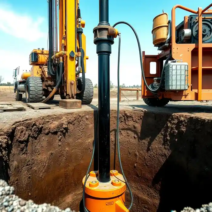
Our approach in Garland begins with a thorough understanding of the local subsurface conditions. We assess factors such as the depth to the Trinity Aquifer system, the presence of clay layers that can affect well development, and the optimal depth for sustainable yield. Following this assessment, we employ precise water well drilling techniques suited to the local geology, ensuring proper well construction, development, and testing to verify performance and water quality before finalizing any installation.
Reference Technical Parameters
| Parameter | Reference Value |
|---|---|
| Predominant Soil Type | Clay, Clay Loam |
| Typical Groundwater Level | 50 - 150 ft below surface |
| Bedrock Depth (Trinity Group) | 200 - 500 ft |
| Maximum Seismic Acceleration (PGA) | Site Class Dependent |
| Typical SPT N60 Range (Upper Strata) | 10 - 30 blows/ft |
Local Considerations — Garland
Garland's geology is characterized by its location within the Blackland Prairie, featuring expansive clays overlying sedimentary formations of the Trinity Group. The static water level can vary significantly, generally deepening towards the east. Seismic design considerations, relevant for wellhead and pump house infrastructure, follow regional codes. A critical local factor is the potential for low-yield zones in areas with thick clay sequences, which necessitates careful siting. For optimal system performance, a site-specific hydrogeological survey is highly recommended to complement the drilling process. For large-scale or complex water supply projects, our centralized team provides extensive support and resources through our water well drilling services in Houston.
Request a Quote
Our team reviews your project and issues an initial report at no cost.
Or write us directly at [email protected]
Services in Garland
Applicable Standards
- Texas Administrative Code (TAC) Chapter 290
- Texas Water Development Board (TWDB) Guidelines
- Local Garland Municipal Codes
- IBC Seismic Design Provisions
Frequently Asked Questions
What are the main soil and geological challenges for drilling a water well in Garland?
The primary challenge is navigating the thick, expansive clay layers of the Blackland Prairie, which can slow drilling progress and require specific techniques for well development to ensure good water entry. Understanding the depth and yield potential of the underlying Trinity Aquifer sands and sandstones is crucial for a successful well.
Are there specific seismic code considerations for well infrastructure in Garland?
Yes, while Garland is not in the highest seismic zone, the International Building Code (IBC) still mandates design considerations for seismic forces. This applies to permanent above-ground structures like pump houses or wellhead enclosures, which must be designed to appropriate site-specific ground motion parameters.
Is a preliminary groundwater study required before drilling a well in Garland?
While not always legally mandated for every residential well, a preliminary assessment is strongly advised. Given the variability in local aquifer conditions, such a study helps identify the optimal drilling location and depth, potentially saving significant costs and avoiding low-yield wells.