Methodology
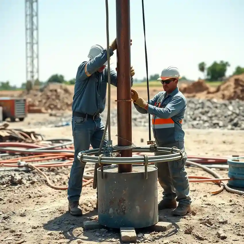
Our approach in Fort Worth begins with a thorough assessment of the site's potential within the Trinity Aquifer system. We analyze existing well data, geologic maps, and local water table trends. This foundational work informs the precise planning and execution of the water well drilling process. We select drilling techniques—typically rotary or percussion—based on the specific subsurface conditions, which can vary from unconsolidated sediments to fractured limestone. Throughout drilling, we continuously log formation samples to confirm the aquifer's characteristics and ensure proper well construction.
Reference Technical Parameters
| Parameter | Reference Value |
|---|---|
| Predominant Aquifer System | Trinity Aquifer (Paluxy, Glen Rose formations) |
| Typical Bedrock Depth | Variable; surface to 100 ft in outcrop areas |
| Common Static Water Level Range | 50 - 300 ft below ground surface |
| Maximum Seismic Acceleration (PGA) | 0.10g - 0.15g (USGS Seismic Zone 2) |
| Typical Soil Overburden | Clay, sand, and gravel layers |
Local Considerations — Fort Worth
Fort Worth's groundwater landscape is defined by five key factors. First, the primary water source is the Trinity Aquifer, a complex system of sand, gravel, and limestone. Second, the static water level can vary significantly, from 50 feet in some areas to over 300 feet in others, heavily influenced by seasonal rainfall and pumping rates. Third, while seismic risk is moderate, proper well casing design is essential for integrity. Fourth, contrasts exist between the more saturated zones in eastern Tarrant County and the deeper, more confined aquifers to the west. Finally, a common challenge is navigating the clay layers within the Trinity Group, which can affect drilling fluid use and well development. For properties with complex access needs, a professional hydrogeological survey is often the prudent first step. For comprehensive regional expertise, learn more about our water well drilling services from our Houston hub.
Request a Quote
Our team reviews your project and issues an initial report at no cost.
Or write us directly at [email protected]
Services in Fort Worth
Applicable Standards
- Texas Administrative Code, Title 31, Part 10 (TCEQ Rules)
- Texas Water Code, Chapter 36 (Groundwater Conservation Districts)
- Local Tarrant County Well Construction Standards
Frequently Asked Questions
What are the main soil and rock types encountered during well drilling in Fort Worth?
Drilling typically progresses through surface clays and sands before reaching the Trinity Aquifer formations. These are primarily composed of interbedded limestone, sand, and clay. The presence of dense, fractured limestone within the Glen Rose formation is common and can significantly influence drilling speed and well yield.
Are there specific seismic design considerations for water wells in Fort Worth?
While not in a high seismic zone, Fort Worth is subject to occasional seismic activity. Our well designs and construction practices, including proper grouting and casing selection, inherently account for ground stability to ensure long-term infrastructure integrity under typical local conditions.
Is a hydrogeological study mandatory before drilling a water well in Tarrant County?
While not always mandated by law for single residential wells, it is highly recommended, especially for commercial or agricultural use or in areas with known water level declines. Local Groundwater Conservation Districts may have specific requirements, and a study provides critical data for optimal well placement and yield estimation.