Methodology
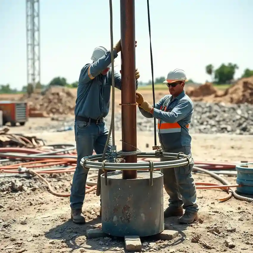
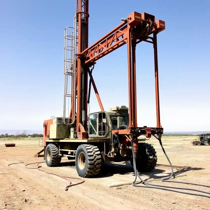
Our approach in Fort Wayne begins with a comprehensive site evaluation, integrating historical data and local geological maps to understand the glacial deposits. We then proceed with strategic water well drilling to target productive water-bearing zones within the sand and gravel aquifers interbedded in the clay-rich till. Throughout the process, we meticulously log formation samples and monitor drilling parameters to confirm we are accessing the optimal aquifer. The well is then properly developed to maximize yield and longevity, culminating in a pump test to verify sustainable performance.
Reference Technical Parameters
| Parameter | Reference Value |
|---|---|
| Predominant Soil Type | Glacial Till (Clay, Silt, Sand, Gravel) |
| Typical Groundwater Level | 10 - 50 ft below surface |
| Bedrock Depth (Carbonate) | 100 - 300 ft |
| Primary Aquifer Type | Buried Valley Sand & Gravel |
| Typical Well Depth Range | 60 - 200 ft |
Local Considerations — Fort Wayne
Fort Wayne's geology is dominated by glacial deposits from the Wisconsin glaciation. The water table is generally shallow but can vary significantly. In areas like the Maumee River valley, productive sand and gravel aquifers are more accessible, while in upland areas, thicker clay till may require deeper drilling to reach water-bearing strata. A critical local factor is the potential for iron and manganese, common in these glacial aquifers, which influences well design and future treatment needs. For properties with complex subsurface conditions or higher water demands, a detailed hydrogeological survey is highly recommended. For major regional projects, our foundational work in water well drilling services from our Chicago hub provides extensive technical support.
Request a Quote
Our team reviews your project and issues an initial report at no cost.
Or write us directly at [email protected]
Services in Fort Wayne
Applicable Standards
- Indiana Department of Natural Resources (DNR) Water Well Regulations
- Indiana Administrative Code (IAC) 312
- Local County Health Department Codes
Frequently Asked Questions
What are the main soil and aquifer challenges for water well drilling in Fort Wayne?
The primary challenge is the heterogeneity of glacial till, which can contain discontinuous layers of sand and gravel that hold water. Drilling through dense clay till is common, and locating the more productive, water-bearing strata requires expertise and proper site assessment. Understanding the local buried valley aquifer systems is key to a successful well.
What state regulations govern water well drilling in Fort Wayne, Indiana?
All water well drilling is regulated by the Indiana Department of Natural Resources (DNR) under the Water Well Driller License Program. Regulations cover construction standards, well sealing, reporting, and licensing. A permit from the DNR is required before drilling begins, and a detailed completion report must be filed afterward.
Is a hydrogeological study always required before drilling a well in Allen County?
While not always legally required for every single-family residential well, a professional hydrogeological assessment is strongly advised. Given the variable nature of glacial deposits, such a study significantly de-risks the project by identifying the most probable depth to water and optimal aquifer, preventing costly dry holes or low-yield wells.