Methodology
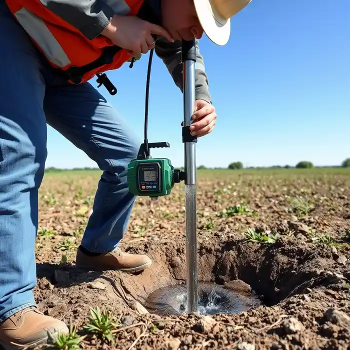
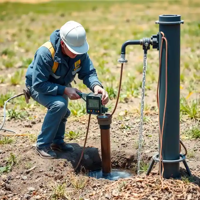
Our approach in Fontana begins with a thorough site assessment, integrating regional hydrogeologic data from the Chino Basin. We then proceed with the precise water well drilling phase, selecting drilling methods—often rotary or cable tool—based on the encountered lithology of unconsolidated sands, gravels, and clays. We carefully log cuttings, install appropriate casing and screen, and develop the well to optimize yield and longevity, ensuring construction meets all Department of Water Resources (DWR) standards.
Reference Technical Parameters
| Parameter | Reference Value |
|---|---|
| Predominant Soil Type | Alluvial sands, gravels, silts, and clays |
| Typical Groundwater Level | Variable, 50 to 300+ feet below ground surface |
| Bedrock Depth | Generally >500 feet, variable across the alluvial fan |
| Seismic Design Category | High (D per IBC, Site Class D typical) |
| Typical SPT N60 Range | Wide range, from <10 in loose fills to >30 in dense alluvium |
Local Considerations — Fontana
1. **Geology & Soils**: The area consists of deep alluvial deposits from the San Gabriel Mountains. Predominant soils range from coarse sands and gravels near the fan apex to finer silts and clays downstream, directly impacting well design and screen selection. 2. **Groundwater Depth**: Water levels are highly variable, historically shallow but now deeper in many areas due to historical extraction, necessitating detailed pre-drilling hydrogeological survey. 3. **Seismic Activity**: Located in a high seismic zone, well design must account for liquefaction potential in saturated, loose granular soils and ensure structural integrity of the wellhead. 4. **Local Contrasts**: Well yields and depths can differ markedly between northern areas closer to the foothills and southern parts of the city. 5. **Typical Projects**: Common scenarios include agricultural supply, industrial process water, and supplemental irrigation, each with unique permitting and technical requirements under SGMA. For major regional projects, our primary operations hub provides extensive support for water well drilling services from our Los Angeles team.
Request a Quote
Our team reviews your project and issues an initial report at no cost.
Or write us directly at [email protected]
Services in Fontana
Applicable Standards
- California Water Code (Well Standards)
- Sustainable Groundwater Management Act (SGMA)
- Local Fontana Municipal Code
- International Building Code (IBC) Seismic Provisions
Frequently Asked Questions
What are the main soil challenges for drilling a water well in Fontana?
The primary challenge is the heterogeneity of the alluvial fan deposits. Drilling may rapidly alternate between hard, abrasive gravel layers and unstable, caving sand zones. This requires experienced drillers and adaptable techniques to properly case the well and install an effective screen to prevent sand intrusion while maximizing water entry.
How does seismic activity affect well construction here?
High seismic risk mandates robust construction. Wells must be designed to resist shear forces and ground displacement. This includes using stronger, welded casing joints, proper cement grouting to isolate zones and stabilize the casing, and securing the wellhead and pump base to prevent damage during an event, protecting the water source and infrastructure.
Is a hydrogeological study required before drilling a well in Fontana?
While not always mandated for every single residential well, a professional hydrogeological study is highly recommended and often required for larger-capacity wells or within critically overdrafted basins under SGMA. It is essential for determining optimal location, depth, and sustainable yield, and is a key part of the permitting process with local water authorities.