Methodology
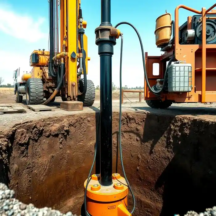
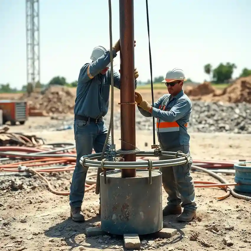
Our approach in Fayetteville begins with a comprehensive site evaluation, integrating regional geologic maps and local well logs to identify promising fracture zones in the underlying carbonate rock. We then proceed with systematic water well drilling, employing techniques suited to the variable bedrock hardness and potential for cavernous voids. Throughout the process, we meticulously log formation samples and monitor drilling parameters. The final construction includes proper casing and grouting to protect the aquifer, followed by development to optimize the well's yield from the fractured rock matrix.
Reference Technical Parameters
| Parameter | Reference Value |
|---|---|
| Predominant Bedrock Type | Boone Formation Limestone/Dolomite |
| Typical Bedrock Depth | 5 - 50 ft (Highly variable overburden) |
| Groundwater Level Fluctuation | Seasonal, influenced by fracture flow |
| Maximum Seismic Acceleration (PGA) | Site Class D dependent, per USGS maps |
| Typical Overburden Soil | Cherty residual soil & alluvium |
Local Considerations — Fayetteville Arkansas
Fayetteville's geology is dominated by the Springfield Plateau aquifer, a karstified sequence of limestone and dolomite. Groundwater levels are highly variable, influenced by fracture connectivity rather than a uniform water table. Seismic activity, while moderate, requires careful well design in areas with known faulting. Contrasts are evident between the deeper, more productive wells in the rural outskirts and the challenging, shallow bedrock encountered in more developed areas. A typical case involves navigating shallow overburden before penetrating the weathered top of the Boone Formation, where successful water yield depends on intersecting a productive fracture network. For complex sites, a thorough hydrogeological survey is critical. Our extensive regional experience also informs our operations for water well drilling services from our Houston hub.
Request a Quote
Our team reviews your project and issues an initial report at no cost.
Or write us directly at [email protected]
Services in Fayetteville Arkansas
Applicable Standards
- Arkansas Water Well Construction Commission (AWWCC) Rules
- Arkansas Code Annotated § 15-22-201 et seq.
- Fayetteville Local Land Use and Setback Ordinances
Frequently Asked Questions
How does the karst geology of Fayetteville impact well drilling?
The karst geology, characterized by dissolved limestone creating fractures and cavities, leads to highly unpredictable water yields. Wells may produce abundant water if they intersect a major fracture, or very little if they do not. This makes pre-drilling assessment and professional siting crucial, as dry holes or wells with marginal yield are a significant risk without proper technical evaluation.
What are the key regulatory requirements for a new water well in Fayetteville?
All wells must be constructed by a licensed driller and permitted through the Arkansas Department of Health. Regulations specify minimum casing depths, grouting procedures to prevent surface contamination, and setback distances from potential contamination sources. A well log must be submitted upon completion. Water rights are governed by the state's riparian and prior appropriation doctrines, which can affect allowable usage.
Is a water quality test required after well installation?
While not always legally mandated for private domestic wells, comprehensive water quality testing is strongly recommended. The karst aquifer is highly susceptible to bacterial and chemical contamination from surface activities. Testing ensures safety and identifies any need for treatment systems, such as for common issues like hardness or iron content from the carbonate rock.