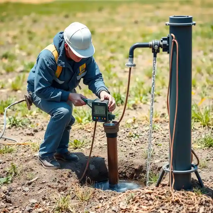
Methodology
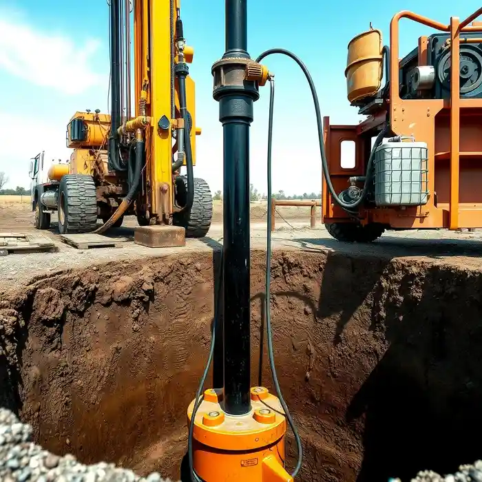
Our approach in Fargo begins with a thorough review of local hydrogeological data and county records to understand the stratigraphy of glacial till, outwash sands, and the underlying bedrock. Site selection is critical to intercept productive layers within the complex aquifer system. We then proceed with the drilling phase, employing techniques suited to the unconsolidated soils, such as water well drilling with reverse circulation or cable tool methods, ensuring proper casing and grouting to prevent surface contamination and manage the prevalent shallow groundwater.
Reference Technical Parameters
| Parameter | Reference Value |
|---|---|
| Predominant Soil Type | Clay-rich Glacial Till, Lacustrine Silts/Clays |
| Typical Groundwater Level | 10 - 30 ft below surface |
| Bedrock Depth (Shale) | 150 - 300 ft (variable) |
| Maximum Frost Depth | 4 - 5 ft |
| Typical Aquifer Material | Sand and Gravel Outwash |
Local Considerations — Fargo
1. **Geology & Soils**: The area is dominated by thick layers of clay-rich glacial till and lacustrine deposits from Lake Agassiz, overlying sand and gravel aquifers. 2. **Water Table**: Typically shallow, often within 10-30 feet of the surface, but can exhibit artesian pressure. 3. **Seismic Activity**: Considered low seismicity; standard well construction practices focus on soil stability and frost depth (often 4-5 feet), not seismic design. 4. **Area Contrasts**: Well yields can vary significantly between the clay-rich uplands and the more permeable sand and gravel deposits near ancient river channels. 5. **Typical Cases**: A common scenario involves drilling through tough clay till to reach a confined sand aquifer, requiring a detailed hydrogeological survey for optimal placement. For major regional projects, our foundational work is supported by our central hub for comprehensive water well drilling services based in Chicago.
Request a Quote
Our team reviews your project and issues an initial report at no cost.
Or write us directly at [email protected]
Services in Fargo
Applicable Standards
- North Dakota Century Code, Chapter 61-04 (Water Well Regulations)
- Fargo Municipal Code
- North Dakota Administrative Code, Article 33-18-04 (Well Construction Standards)
Frequently Asked Questions
What soil conditions are most challenging for well drilling in Fargo?
The dense, plastic clay of the glacial till is the primary challenge. It can be slow to drill through and may cause hole stability issues or heaving. Accurate identification of transitions from till to more permeable sand and gravel layers is crucial for successful well screen placement and development.
Are there specific seismic codes that affect well design in Fargo?
No. Fargo is located in a region of very low seismic hazard. Well construction codes are focused on sanitary protection, structural integrity against soil pressures, and extending casing below the frost line to prevent freezing, not on seismic resistance.
Is a hydrogeological study mandatory before drilling a well in Fargo?
While not always mandatory for single residential wells, it is highly recommended due to the variability of the aquifer. For commercial, agricultural, or municipal wells, or in areas with known water quality or quantity concerns, a professional assessment is often required by the state or local authorities to obtain a water appropriation permit.