Methodology
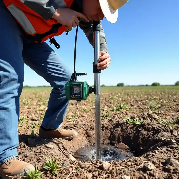
Our approach in Eugene begins with a thorough review of existing well logs and geologic maps for your area. We then conduct a targeted field assessment to identify the most promising location for a successful well. The actual water well drilling process is tailored to the subsurface conditions, often involving rotary techniques to penetrate through layers of valley fill and into water-bearing gravels or bedrock. We meticulously log all formations, install appropriate casing and screen, and develop the well to maximize yield and longevity, always adhering to Oregon Water Resources Department (OWRD) construction standards.
Reference Technical Parameters
| Parameter | Reference Value |
|---|---|
| Predominant Soil Type | Alluvial sands, gravels, and silty clays |
| Typical Groundwater Level | 10 - 50 ft below ground surface (seasonally variable) |
| Bedrock Depth (Willamette Valley) | 50 - 200+ ft |
| Maximum Seismic Acceleration (PGA) | 0.4g - 0.6g (per USGS seismic design maps) |
| Typical SPT N60 Value (Alluvial Sands) | 15 - 40 blows/ft |
Local Considerations — Eugene Oregon
Eugene's geology is dominated by the Willamette Valley's deep alluvial deposits, consisting of layered sands, gravels, and clays from ancient flooding events. The water table is generally shallow but can fluctuate significantly with seasonal rainfall. Seismic activity is a critical design factor; wells must be constructed to withstand liquefaction risks in saturated, loose soils. Properties in the southern hills near the Coburg Road area often require deeper drilling to reach fractured basalt aquifers, while sites in the River Road district typically tap shallower, high-yield gravel aquifers. A proper hydrogeological survey is essential to navigate this variability and avoid drilling into confined layers with poor water quality. For major regional projects, our primary team coordinates with our water well drilling experts based in Seattle.
Request a Quote
Our team reviews your project and issues an initial report at no cost.
Or write us directly at [email protected]
Services in Eugene Oregon
Applicable Standards
- Oregon Water Resources Department (OWRD) Well Construction Standards
- Oregon Administrative Rules (OAR) Chapter 690
- Local Lane County Environmental Health Regulations
Frequently Asked Questions
What type of aquifer can I expect to drill into in Eugene?
Most wells in the Eugene area tap into the unconfined, valley-fill aquifers of the Willamette Valley, which are highly productive but heterogeneous. These consist of interconnected layers of water-bearing gravel and sand. In the foothills, the target shifts to fractured volcanic bedrock aquifers, which typically yield less water but can be of excellent quality. The specific aquifer accessed depends entirely on your property's location.
How does Eugene's seismic risk affect well construction?
Seismic risk mandates robust well construction. We use full-length, welded steel casing through unstable surface soils to prevent collapse during shaking. The annular space is sealed with specific, approved grouts to prevent aquifer contamination from surface water, which is a heightened risk in liquefaction-prone zones. These measures are integral to OWRD standards for this seismic zone.
Is a water right always required for a domestic well in Oregon?
Yes. Oregon operates on a prior appropriation system. For most uses, you must obtain a permit from the OWRD before drilling. Exemptions exist for certain low-yield domestic or stock watering uses, but you must still file a permit-by-rule notice. Our team guides you through this critical legal and administrative process to ensure your well is fully permitted.