Methodology
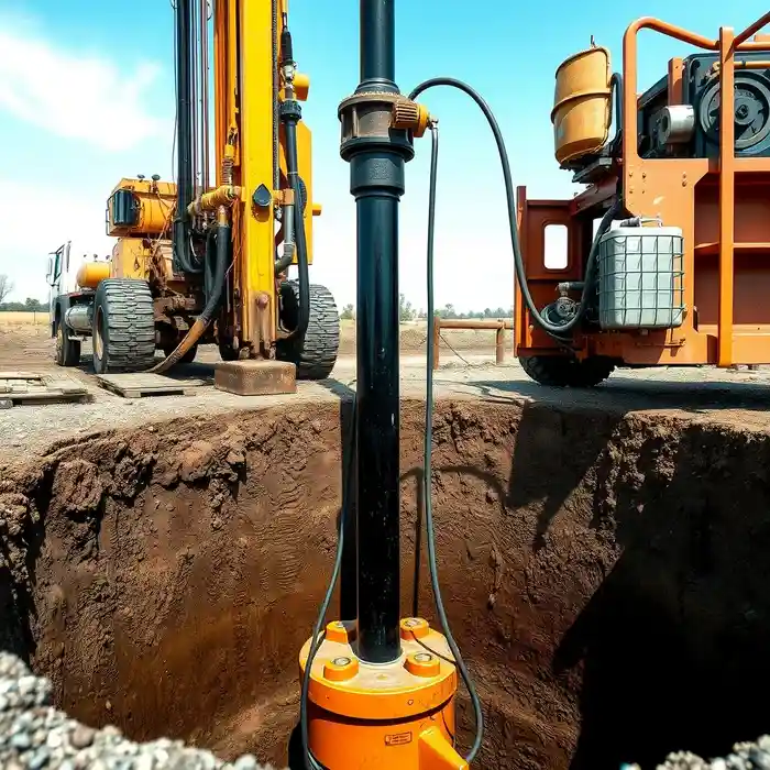
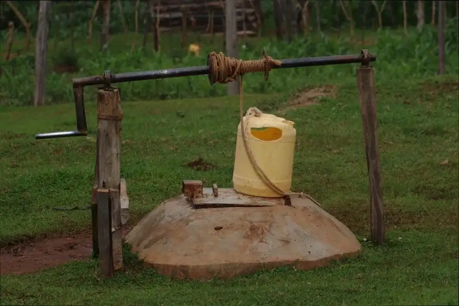
Our approach to groundwater development in Durham begins with a comprehensive site evaluation, integrating regional geological maps and local data. This informs the strategic planning of the water well drilling operation. We select drilling techniques—typically rotary or cable tool—appropriate for the anticipated subsurface conditions, from unconsolidated overburden to fractured bedrock. Continuous monitoring during drilling allows for accurate logging of formation materials and water-bearing zones, ensuring the final well design is optimized for yield and longevity within the specific site context.
Reference Technical Parameters
| Parameter | Reference Value |
|---|---|
| Predominant Soil/Bedrock Type | Saprolite over Crystalline Bedrock (Granite, Gneiss) |
| Typical Bedrock Depth | 20 - 100 ft (Variable) |
| Typical Groundwater Level | 20 - 100 ft below surface |
| Maximum Seismic Acceleration (PGA) | Site Class Dependent per IBC |
| Typical Overburden N60 Range | 5 - 30 (Highly variable with weathering) |
Local Considerations — Durham
Durham's groundwater landscape presents distinct considerations. The depth to water table can vary significantly, often between 20 to 100 feet, influenced by topography and seasonal recharge. The transition from soil/saprolite to competent bedrock is a critical factor for well casing and screen placement. While seismic risk is moderate, wellhead construction must account for stability. Contrasts exist between more rural areas with deeper water tables and urban settings where existing infrastructure requires careful navigation. A professional hydrogeological survey is strongly recommended prior to any drilling to assess these variables accurately. For broader regional expertise, learn about our foundational work in water well drilling services from our Philadelphia hub.
Request a Quote
Our team reviews your project and issues an initial report at no cost.
Or write us directly at [email protected]
Services in Durham
Applicable Standards
- North Carolina Well Construction Standards
- NC Groundwater Use Regulations
- Local Durham County Environmental Health Codes
Frequently Asked Questions
What are the primary soil and rock conditions for well drilling in Durham?
Durham is situated in the Piedmont physiographic province, characterized by a thick layer of weathered rock material called saprolite overlying hard, crystalline bedrock such as granite and gneiss. This geology requires drilling methods capable of penetrating both unconsolidated materials and fractured rock to reach productive water-bearing zones.
What regulations govern water well drilling in Durham, NC?
All water well construction must comply with the North Carolina Well Construction Standards administered by the Department of Environmental Quality (DEQ). These rules specify requirements for casing, grouting, disinfection, and well completion. Additionally, obtaining a permit from the local county health department and registering the well with the state are mandatory steps.
Is a hydrogeological study required before drilling a well in Durham?
While not always legally mandated for single-family residential wells, a pre-drilling hydrogeological assessment is a critical best practice. Given the variability in bedrock depth and fracture yield, such a study significantly de-risks the project by identifying the most promising location and optimal well depth, potentially saving considerable cost and effort.