Methodology
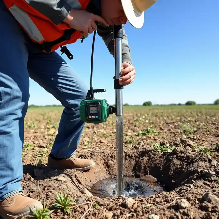
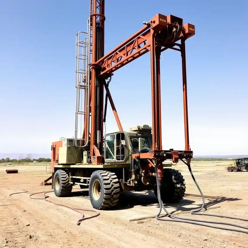
Our approach in Columbia begins with a thorough site assessment, integrating regional geological maps and local well logs to understand subsurface conditions. We then proceed with a methodical water well drilling process, selecting drilling techniques—whether rotary, percussion, or cable tool—based on the anticipated geology, from unconsolidated sands to fractured rock. Continuous monitoring during drilling allows for real-time adjustments. The well is then properly developed to maximize efficiency and yield, followed by aquifer testing to establish sustainable pumping rates specific to the site's hydrogeology.
Reference Technical Parameters
| Parameter | Reference Value |
|---|---|
| Predominant Near-Surface Geology | Unconsolidated Sand & Clay (Coastal Plain); Crystalline Bedrock (Piedmont) |
| Typical Bedrock Depth (Sandhills) | 30 - 100 ft |
| Maximum Seismic Acceleration (PGA) | Site-Specific, per IBC & ASCE 7 |
| Typical Seasonal Water Table Fluctuation | 5 - 15 ft |
| Typical Residential Well Depth Range | 100 - 400 ft |
Local Considerations — Columbia South Carolina
Columbia's geology is defined by the transition from the Coastal Plain to the Piedmont. The Sandhills region features deep, unconsolidated sands overlying clay layers, requiring careful screen selection to prevent sanding. Bedrock wells in the Piedmont portion target fractures in crystalline rock, where yield is highly variable. Seismic design, guided by the International Building Code for South Carolina's moderate risk zone, influences well casing design in critical facilities. Neighborhoods like Forest Acres, with its varied topography, can have significantly different well depths compared to the flatter areas near the Congaree River. A detailed hydrogeological survey is particularly crucial here to identify the most productive zones and avoid localized contamination, a common concern in older, developed areas. For major regional operations, our team also provides comprehensive water well drilling services from our Atlanta hub.
Request a Quote
Our team reviews your project and issues an initial report at no cost.
Or write us directly at [email protected]
Services in Columbia South Carolina
Applicable Standards
- South Carolina Department of Health and Environmental Control (DHEC) Regulations
- International Building Code (IBC) - Adopted by South Carolina
- ASCE 7 Minimum Design Loads
- Local County Well Construction Ordinances
Frequently Asked Questions
What are the main soil and rock challenges for well drilling in Columbia, SC?
The primary challenge is heterogeneity. In the Sandhills (Coastal Plain), loose sands can collapse during drilling, requiring proper mud programs or casing. Clays can swell and reduce well yield if not properly developed. In the Piedmont, drilling through hard, crystalline bedrock (like granite or gneiss) is slower and requires appropriate equipment. Well yield here depends entirely on intersecting sufficient water-bearing fractures.
How does seismic risk in Columbia affect well construction?
While not in a high seismic zone like the West Coast, Columbia is subject to code-defined seismic loads. For non-critical residential wells, standard construction typically suffices. However, for wells serving essential facilities (e.g., hospitals, fire stations) or in areas with liquefiable soils, our design incorporates reinforced casing and grouting protocols to maintain integrity during ground motion, adhering to IBC and ASCE 7 standards.
Is a hydrogeological study always required before drilling a well in Columbia?
While not always legally mandated for a single-family home, it is highly recommended. Given the variability between the Coastal Plain and Piedmont aquifers, a study significantly de-risks the project. It provides data on probable depth, yield, and water quality, preventing costly dry or low-yield wells. For commercial, agricultural, or municipal projects, a professional hydrogeological assessment is a standard and essential prerequisite.