Methodology
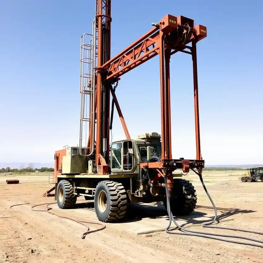
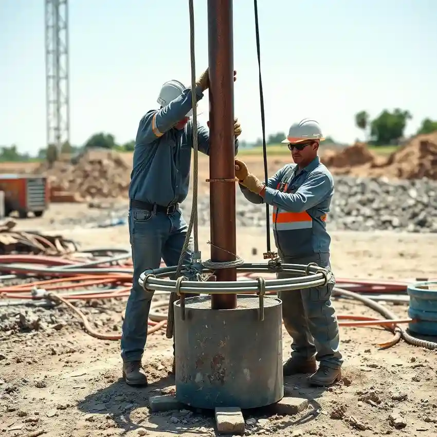
Our general methodology for projects in Cincinnati begins with a comprehensive review of existing hydrogeological data and county well logs. We then proceed with site-specific investigation to confirm aquifer characteristics, followed by the precise water well drilling phase using techniques suited to the interbedded sands, gravels, and clays. The well is properly constructed, developed to maximize yield and clarity, and tested to establish sustainable performance parameters, ensuring a reliable water source.
Reference Technical Parameters
| Parameter | Reference Value |
|---|---|
| Predominant Soil Type | Glacial Till (Clay, Silt, Sand, Gravel) |
| Bedrock Depth | 50 - 200 ft (variable) |
| Typical Groundwater Level | 20 - 80 ft below surface |
| Maximum Seismic Acceleration (PGA) | 0.10g - 0.15g (Site-Specific) |
| Typical SPT N60 Range | 10 - 40 blows/ft in granular soils |
Local Considerations — Cincinnati
1. **Geology & Soil:** The area is characterized by glacial till overlying the Ordovician-age bedrock, with the highly productive buried valley aquifer systems consisting of sand and gravel. 2. **Water Table:** The static water level is generally shallow but can vary significantly with topography and proximity to the Ohio River. 3. **Seismic Activity:** Cincinnati is in a zone of moderate seismic risk, requiring consideration of seismic loads in well design for critical infrastructure. 4. **Neighborhood Contrast:** Well yields and depths can differ markedly between hillside properties on bedrock and valley floors accessing the thicker aquifer sequences. 5. **Typical Cases:** A common scenario involves navigating clay layers to reach the productive sands, a process where a detailed hydrogeological survey is invaluable. For large-scale regional projects, expertise from our water well drilling team based in Chicago is often integrated.
Request a Quote
Our team reviews your project and issues an initial report at no cost.
Or write us directly at [email protected]
Services in Cincinnati
Applicable Standards
- Ohio EPA - Chapter 3745-9 (Water Well Standards)
- Ohio Department of Natural Resources (ODNR) - Division of Water Resources
- Local County Health Department Regulations
Frequently Asked Questions
What soil and geological challenges are specific to water well drilling in Cincinnati?
The primary challenge is the heterogeneous subsurface, featuring layers of dense glacial till, loose sand, and gravel deposits from ancient river valleys. Successfully constructing a well requires accurately identifying and screen-setting within the coarser, water-bearing strata while sealing off fine-grained layers to prevent sand pumping and ensure well efficiency.
What are the key regulatory requirements for a new water well in Cincinnati?
All wells must be constructed by a licensed driller, registered with the Ohio Department of Natural Resources. A permit is typically required from the local health department. Post-construction, a well log must be submitted to ODNR, and water quality testing is mandated to ensure safety before putting the well into service.
Is a hydrogeological study always required before drilling a well in this area?
While not always legally mandated for single residential wells, a pre-drilling assessment is highly recommended in Cincinnati's variable geology. It reduces the risk of drilling a low-yield or dry well by identifying the most probable depth and location of productive aquifer zones, making it a prudent investment.