Methodology
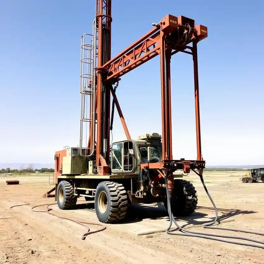
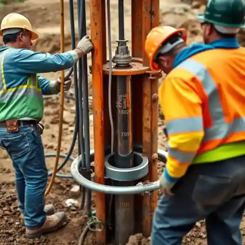
Our approach in Chesapeake begins with a comprehensive site evaluation to understand the subsurface conditions. This informs the precise planning and execution of the water well drilling process. We prioritize identifying the optimal aquifer target, whether in the surficial Yorktown-Eastover aquifer or the deeper, confined Potomac aquifer, to ensure sustainable yield. Our operational focus is on techniques that respect the local environment and adhere to Virginia Department of Health (VDH) and local Chesapeake codes throughout the construction phase.
Reference Technical Parameters
| Parameter | Reference Value |
|---|---|
| Predominant Soil Type | Sands, Silts, and Clays (Coastal Plain Sediments) |
| Typical Groundwater Level | 10 - 50 ft below ground surface |
| Bedrock Depth | 200 - 1000+ ft (Crystalline Basement) |
| Primary Aquifer Targets | Yorktown-Eastover (Surficial), Potomac (Confined) |
Local Considerations — Chesapeake
Chesapeake's geology is defined by the Atlantic Coastal Plain, featuring unconsolidated sediments overlying crystalline bedrock. The water table is generally shallow, often within 10-20 feet in low-lying areas, but can vary significantly. Seismic risk is considered low to moderate, with ground motion parameters guided by the Virginia Uniform Statewide Building Code. A key local challenge is managing the interface between freshwater aquifers and potential brackish water, particularly in southeastern areas near the Albemarle-Pamlico estuary. Proper well construction and a thorough hydrogeological survey are essential to mitigate this. For complex projects beyond our local scope, we coordinate with our central team specializing in water well drilling in Philadelphia.
Request a Quote
Our team reviews your project and issues an initial report at no cost.
Or write us directly at [email protected]
Services in Chesapeake
Applicable Standards
- Virginia Department of Health (VDH) Regulations
- Chesapeake City Code
- Virginia Uniform Statewide Building Code
- US EPA Safe Drinking Water Act Standards
Frequently Asked Questions
What are the common soil and aquifer conditions for water wells in Chesapeake?
Chesapeake sits on the Atlantic Coastal Plain, characterized by layered sequences of sand, silt, and clay. Water wells typically tap into the surficial Yorktown-Eastover aquifer for shallower needs or the deeper, confined Potomac aquifer for higher-yield, commercial purposes. The presence of clay layers can create confined conditions, and proximity to estuaries requires careful assessment to avoid saline intrusion.
Are there specific seismic design considerations for wells in Chesapeake?
While not a high seismic zone like the West Coast, Chesapeake is subject to the seismic provisions of the Virginia Uniform Statewide Building Code. Our designs consider site class and ground motion parameters to ensure well casing and construction integrity under potential seismic loads, though the primary design focus remains on hydrogeological and corrosion factors.
Is a hydrogeological study mandatory before drilling a well in Chesapeake?
While not always mandatory for standard residential wells, a professional hydrogeological survey is highly recommended and is often required for commercial, agricultural, or high-yield wells. It is essential for determining optimal location, depth, and yield, ensuring regulatory compliance, and protecting against long-term issues like contamination or well interference.