Methodology
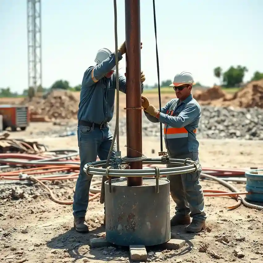
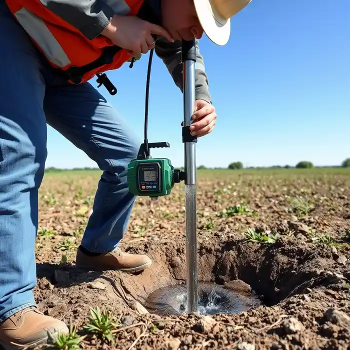
Our approach in Brownsville begins with a comprehensive understanding of the local aquifer systems. We integrate regional geological data with site-specific assessments to identify optimal drilling locations. The process involves careful planning to navigate the complex soil stratigraphy and to target productive water-bearing zones, ensuring a successful and efficient water well drilling project tailored to the conditions of the Rio Grande Valley.
Reference Technical Parameters
| Parameter | Reference Value |
|---|---|
| Predominant Soil Type | Clay, Silt, and Sand sequences |
| Typical Groundwater Level | Shallow to Moderate Depth |
| Bedrock Depth | Generally Deep (>100 ft) |
| Maximum Seismic Acceleration (PGA) | Low to Moderate |
Local Considerations — Brownsville Texas
Brownsville's groundwater landscape is defined by its coastal plain setting. The primary aquifer is the Gulf Coast Aquifer system, with water tables generally shallow but variable. Soil conditions often consist of clays, silts, and sands, requiring specific drilling techniques. Seismic risk is moderate, influenced by regional faults. Contrasts exist between older urban cores with potential legacy infrastructure and newer developments on the outskirts. A critical local consideration is the management of water quality and salinity intrusion near the coast, which directly influences well design and depth. For complex aquifer characterization beyond standard drilling, a detailed hydrogeological survey is often recommended. For major regional projects, our coordinated water well drilling services from Houston provide additional technical support.
Request a Quote
Our team reviews your project and issues an initial report at no cost.
Or write us directly at [email protected]
Services in Brownsville Texas
Applicable Standards
- Texas Administrative Code (TAC) Chapter 290
- Texas Water Development Board (TWDB) Regulations
- Local Groundwater Conservation District Rules
Frequently Asked Questions
What are the common soil types encountered during well drilling in Brownsville?
The subsurface in Brownsville typically consists of alternating layers of clay, silt, and sand deposited by the Rio Grande and ancient coastal processes. These unconsolidated sediments can vary significantly over short distances, impacting drilling speed and well construction methods, such as the need for proper well casing and screen selection.
Are there specific seismic design considerations for well infrastructure in Brownsville?
While not in a high seismic zone like other parts of the country, Brownsville is subject to low to moderate seismic risk. Well design, particularly for above-ground components and pump houses, should consider basic seismic provisions to ensure infrastructure integrity during rare seismic events, adhering to general good engineering practices.
Is a hydrogeological study mandatory before drilling a water well in Brownsville?
Regulations vary by local Groundwater Conservation District. While not always mandatory for single residential wells, a professional hydrogeological assessment is highly recommended and may be required for commercial, agricultural, or high-yield wells. It ensures regulatory compliance, optimal well placement, and sustainable aquifer management.