Methodology
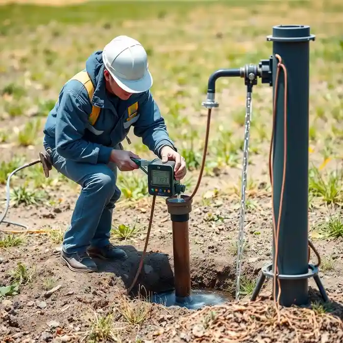
Our methodology for projects in Baton Rouge begins with a regional assessment to understand the interaction between surface hydrology and the shallow, often unconfined, aquifers. This informs the strategic planning for water well drilling, where we select techniques suited to the unconsolidated sands, clays, and gravels. We prioritize proper well development to maximize yield and ensure long-term integrity, recognizing that the area's geology requires careful screen selection and gravel pack design to prevent sand intrusion and ensure sustainable operation.
Reference Technical Parameters
| Parameter | Reference Value |
|---|---|
| Predominant Soil Type | Unconsolidated sands, silts, and clays (Alluvial deposits) |
| Typical Groundwater Level (ft bgs) | 10 - 30 ft (variable seasonally) |
| Bedrock Depth (ft bgs) | > 1,000 ft (Cockfield Formation) |
| Aquifer System | Mississippi River Alluvial & Chicot Aquifer |
| Typical Total Dissolved Solids (TDS) | 200 - 500 mg/L (freshwater zone) |
Local Considerations — Baton Rouge
1. The shallow water table, often within 10-30 feet of the surface, necessitates careful wellhead construction and sealing to prevent surface contamination. 2. Soil stratigraphy is highly variable, with interbedded layers of sand, silt, and clay requiring expert identification during drilling to properly screen the well. 3. While not in a zone of high seismicity, the soft, saturated soils can be susceptible to liquefaction under extreme loading, a factor considered in well casing design for critical infrastructure. 4. Contrasts exist between areas closer to the Mississippi River levees, with deeper sand layers, and older upland areas where clay content is higher, impacting potential yield. 5. A typical case involves navigating clay lenses within a sand aquifer, which requires adjusted drilling fluid properties and development techniques to achieve optimal well performance. For complex aquifer characterization beyond standard access, a detailed hydrogeological survey is often warranted.
Request a Quote
Our team reviews your project and issues an initial report at no cost.
Or write us directly at [email protected]
Services in Baton Rouge
Applicable Standards
- Louisiana Department of Natural Resources (LDNR) Regulations
- Louisiana State Uniform Construction Code (LSUCC)
- Local Baton Rouge Parish Well Construction Standards
Frequently Asked Questions
What are the main soil challenges for water well drilling in Baton Rouge?
The primary challenge is drilling through unconsolidated, layered sediments without causing excessive collapse. The presence of loose sands requires careful circulation control and proper filter pack design, while clay layers can slow progress and require specific drilling fluids. Accurate identification of these layers in real-time is crucial for effective well screen placement.
Are there specific seismic design considerations for wells here?
While Baton Rouge is not in a high seismic design category, the soft, water-saturated soils have a low liquefaction potential under extreme seismic events. For standard residential wells, specific seismic design is not typically mandated by code, but for municipal or high-capacity industrial wells, a site-specific hydrogeological evaluation may be recommended to inform casing and grouting specifications.
Is a hydrogeological study always required before drilling a well?
For single-family residential wells on lots over one acre, a basic assessment of existing wells in the area often suffices for permitting. However, for commercial properties, agricultural operations, or in areas known for water quality issues (e.g., saltwater intrusion zones), regulatory authorities may require a formal hydrogeological study to assess sustainable yield and water quality, ensuring the protection of the aquifer resource.