Methodology
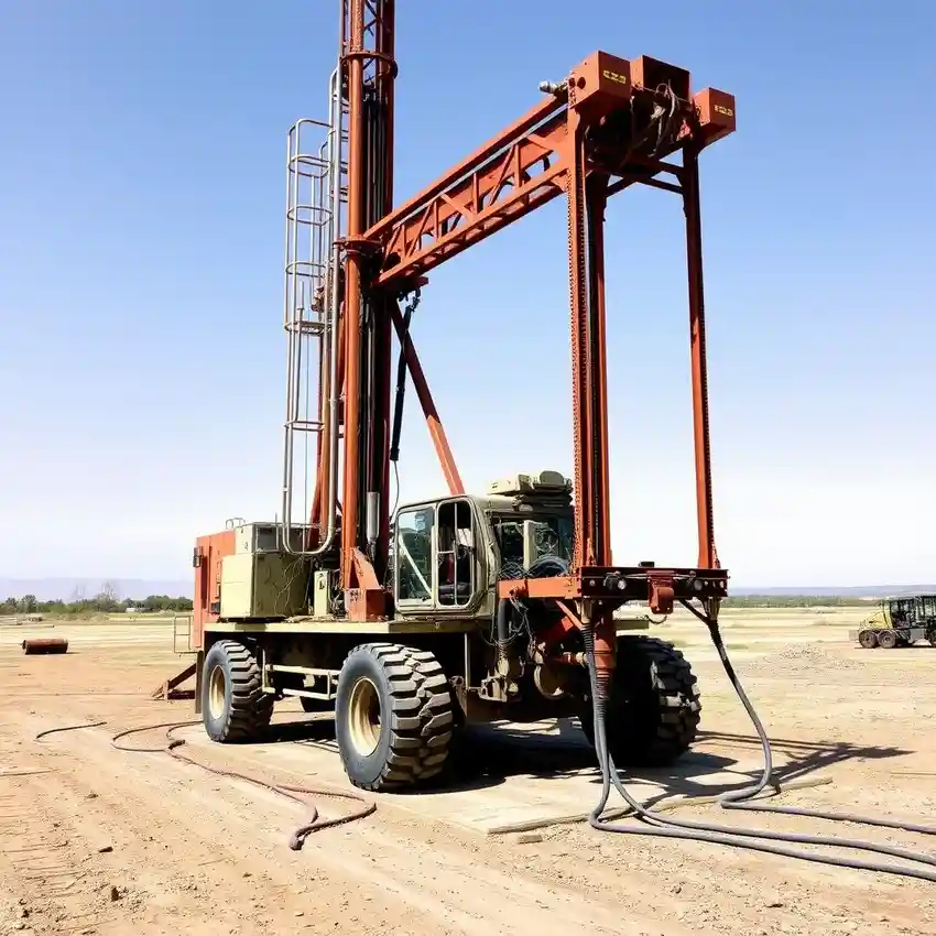
Our methodology for projects in Bakersfield begins with a comprehensive review of existing hydrogeological data and regional studies. We then conduct a detailed site-specific analysis to identify the optimal target aquifer, considering factors like subsidence concerns and water rights. The subsequent water well drilling phase employs techniques suited to the local sedimentary geology, from the shallow alluvial deposits to deeper confined aquifers. Continuous monitoring and sampling during drilling allow for real-time adjustments to ensure well integrity and optimal screen placement for maximum efficiency and longevity.
Reference Technical Parameters
| Parameter | Reference Value |
|---|---|
| Predominant Soil Type | Alluvial deposits (sands, silts, clays) |
| Typical Groundwater Level | Variable, 50 - 500 ft below surface |
| Bedrock Depth | Generally >1000 ft in valley center |
| Maximum Seismic Acceleration (PGA) | 0.4g - 0.6g (Seismic Zone 4) |
| Aquifer Type | Multi-layered, semi-confined to confined |
Local Considerations — Bakersfield
The Bakersfield area presents distinct hydrogeological considerations. The primary water source is the complex aquifer system of the San Joaquin Valley, heavily impacted by historical agricultural use and regulated under the Sustainable Groundwater Management Act (SGMA). Seismic activity is a critical design factor, requiring robust well construction to withstand liquefaction risks in saturated, loose sediments. Contrasts exist between the deeper, more protected aquifers in the valley floor and shallower, more vulnerable resources near the Kern River. A typical challenge is managing well efficiency in areas with high concentrations of fine sediments, which necessitates a precise hydrogeological survey and tailored development techniques. For major regional projects, our coordinated water well drilling services from Los Angeles provide additional technical support.
Request a Quote
Our team reviews your project and issues an initial report at no cost.
Or write us directly at [email protected]
Services in Bakersfield
Applicable Standards
- Sustainable Groundwater Management Act (SGMA)
- California Well Standards (Bulletin 74)
- Kern County Ordinance Code
- Seismic Design Criteria (ASCE 7-16)
Frequently Asked Questions
What are the main soil and aquifer challenges for water well drilling in Bakersfield?
The subsurface consists of deep, alternating layers of sand, silt, and clay deposited by the Kern River and ancient lakes. This stratification creates multi-layered aquifers with varying water quality and yield. Key challenges include correctly identifying and targeting the productive sand layers, mitigating sand intrusion, and designing wells to account for the region's significant seismic hazard and potential for land subsidence due to groundwater extraction.
How does seismic activity influence well design and construction here?
Bakersfield is in a high seismic zone. Well design must account for ground shaking and liquefaction potential, especially in saturated, loose soils. This influences the selection of casing materials, grouting procedures, and wellhead design to ensure the well's structural integrity during and after a seismic event, preventing collapse or contamination of the aquifer.
Is a hydrogeological study mandatory before drilling a water well in Kern County?
While permits always require specific well construction details, a formal hydrogeological study is not universally mandated for all wells but is highly recommended and often required for commercial, industrial, or larger-capacity agricultural wells. It is critical for demonstrating sustainable yield under SGMA, securing water rights, and ensuring the well's design is optimized for the local geology, ultimately avoiding costly failures or non-compliance.