Methodology
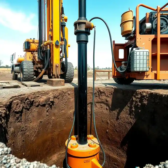
Our approach in Austin begins with a comprehensive site evaluation to understand the local hydrogeology, focusing on the characteristics of the Edwards and Trinity Aquifers. We then proceed with precision water well drilling, selecting the appropriate rotary or percussion technique based on subsurface conditions. Throughout the process, we meticulously log formation samples and monitor drilling parameters. The well is then properly cased and developed to maximize its specific capacity and longevity, culminating in a standardized pump test to accurately characterize the aquifer's sustainable yield.
Reference Technical Parameters
| Parameter | Reference Value |
|---|---|
| Predominant Soil Type | Clay, Sandy Loam, and Limestone |
| Maximum Seismic Acceleration (PGA) | 0.1g - 0.2g |
| Typical Groundwater Level | 50 - 300 ft below surface |
| Bedrock Depth (Edwards Limestone) | 0 - 100 ft (highly variable) |
| Typical Well Depth Range | 200 - 1,000 ft |
Local Considerations — Austin
1. The karstic limestone of the Edwards Aquifer requires careful drilling to manage potential cavities and ensure proper well construction. 2. Groundwater levels can fluctuate significantly between the wet and dry seasons, impacting static water levels and well yield. 3. While seismic activity is moderate, proper well design considers regional stability. 4. Contrasts exist between the shallower water table in eastern alluvial areas and the deeper, confined sections of the aquifer to the west. 5. For complex projects requiring extensive aquifer analysis, we often collaborate with our hydrogeological survey specialists and leverage the expertise of our primary team for water well drilling in Houston.
Request a Quote
Our team reviews your project and issues an initial report at no cost.
Or write us directly at [email protected]
Services in Austin
Applicable Standards
- Texas Water Code
- Rules of the Texas Commission on Environmental Quality (TCEQ)
- Local Groundwater Conservation District Regulations
Frequently Asked Questions
What are the main soil and rock conditions encountered during water well drilling in Austin?
Drilling in Austin typically progresses through layers of clay and sandy loam before reaching the primary water-bearing formations: the fractured and karstic Edwards Limestone or the sands and gravels of the Trinity Aquifer. The presence of chert nodules and potential cavities in the limestone are key considerations during the drilling and casing process.
What local regulations govern water well drilling in Austin?
All water well drilling is regulated under the Texas Water Code and administered by the Texas Commission on Environmental Quality (TCEQ). Additionally, operations must comply with the specific rules of the local Groundwater Conservation District (GCD), which manages permitting, spacing, and production limits to ensure sustainable use of the aquifer.
Is a hydrogeological study mandatory before drilling a water well in Austin?
While not always mandated by law for every domestic well, a professional hydrogeological study is highly recommended, especially for commercial, agricultural, or municipal supply wells. It is crucial for determining the optimal location, anticipated yield, and proper construction design to ensure a reliable, long-term water supply and to fulfill permitting requirements with the local GCD.