Methodology
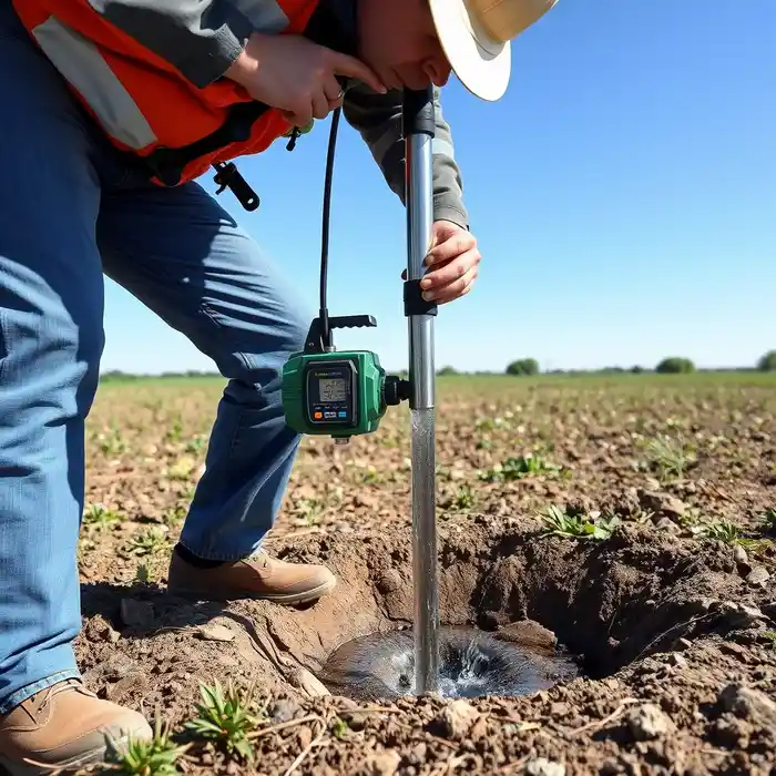
Our approach in the Augusta market begins with a comprehensive site evaluation to identify the optimal aquifer target, whether the deeper, confined Tuscaloosa Formation or shallower riverine alluvium. We then proceed with precision water well drilling using techniques suited to the local geology—typically rotary for deeper bedrock wells and cable tool or sonic methods where unconsolidated sediments are prevalent. Each phase, from drilling and casing to development, is meticulously documented to meet Georgia Department of Natural Resources, Environmental Protection Division (GA EPD) guidelines and to establish a sustainable yield for the well.
Reference Technical Parameters
| Parameter | Reference Value |
|---|---|
| Predominant Soil Type | Coastal Plain sediments (sand, clay, silt) |
| Typical Groundwater Level | 10 - 100 ft below ground surface |
| Bedrock Depth (Tuscaloosa Fm.) | 200 - 600 ft in the area |
| Maximum Seismic Acceleration (PGA) | 0.12g - 0.20g (USGS Seismic Zone 2) |
Local Considerations — Augusta Georgia
1. **Geology & Aquifers**: The primary target is the Cretaceous Tuscaloosa aquifer, a confined system requiring careful hydrogeological survey to map its depth and potentiometric surface. 2. **Seismic Context**: Located in a low-to-moderate seismic zone, well design must account for potential liquefaction in sandy soils near the river. 3. **Regulatory Environment**: All wells must be constructed by a licensed driller and permitted through the GA EPD, with specific casing and grouting requirements. 4. **Urban vs. Rural Contrast**: In suburban areas, well placement must consider existing infrastructure and potential contamination sources, while rural tracts offer more flexibility but may require deeper drilling. 5. **Typical Cases**: Many successful wells in the region are completed in the Tuscaloosa at depths of 300-500 feet, yielding reliable water for irrigation and household use, though shallower alluvial wells are feasible closer to the Savannah River.
Request a Quote
Our team reviews your project and issues an initial report at no cost.
Or write us directly at [email protected]
Services in Augusta Georgia
Applicable Standards
- Georgia Well Water Standards Act (O.C.G.A. § 12-5-170)
- GA EPD Rules for Water Well Contractors (391-3-5)
- US EPA Safe Drinking Water Act (SDWA) provisions
Frequently Asked Questions
What are the common soil and rock conditions for water well drilling in Augusta?
The area is underlain by the Atlantic Coastal Plain, consisting of hundreds of feet of unconsolidated sands, clays, and silts overlying sedimentary bedrock, primarily the Tuscaloosa Formation. This geology requires different drilling techniques for the soft sediments versus the harder, consolidated sandstone of the aquifer.
Are there specific seismic design considerations for wells in Augusta?
While not in a high seismic zone like the West Coast, Augusta is in USGS Seismic Zone 2. Well design, especially the casing integrity and grout seal, should consider ground shaking potential to prevent well collapse or aquifer contamination during a seismic event.
Is a hydrogeological study mandatory before drilling a water well in Augusta?
While not always legally mandated for every single-family residential well, a professional hydrogeological survey is highly recommended. It is crucial for determining the optimal depth and location to ensure adequate yield, avoid poor water quality zones, and comply with all state-setback requirements from potential contamination sources.