Methodology
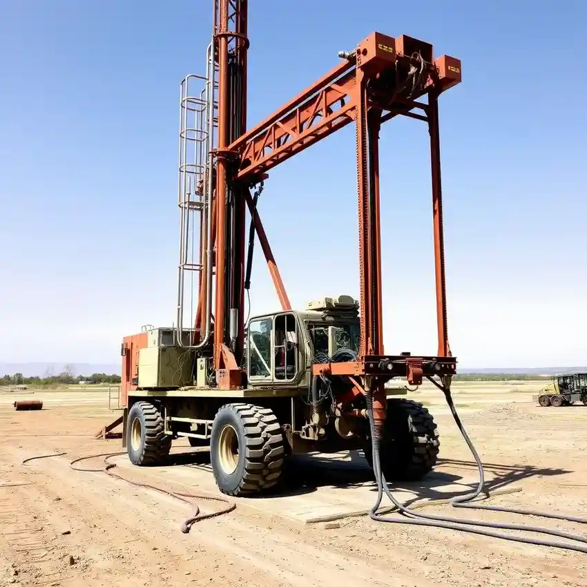
Our approach in Anchorage begins with a thorough site assessment to understand the subsurface conditions. We prioritize identifying the depth to bedrock and the presence of permafrost, which directly influences drilling method selection and well design. The process involves careful penetration through layers of glacial till and outwash sands and gravels, which are the primary aquifers. Proper well development is critical here to remove fine sediments and ensure optimal yield and longevity. For a detailed breakdown of our drilling process, please see our dedicated page on water well drilling.
Reference Technical Parameters
| Parameter | Reference Value |
|---|---|
| Predominant Soil Type | Glacial Till & Outwash (Sands, Gravels, Silt) |
| Typical Bedrock Depth | 20 - 100 ft (Highly Variable) |
| Maximum Seismic Acceleration (PGA) | 0.4 - 0.6g (Seismic Zone 4) |
| Seasonal Groundwater Level Fluctuation | 5 - 15 ft |
| Permafrost Occurrence | Discontinuous, Depth Variable |
Local Considerations — Anchorage
Anchorage's geology is defined by glacial deposits overlying sedimentary bedrock. Groundwater levels are highly variable, influenced by seasonal thaw and proximity to Cook Inlet. Seismic design, per IBC and local codes, is a critical factor for well casing integrity. Contrasts are evident: hillside areas may have deeper water tables and fractured bedrock aquifers, while lower-lying areas near Ship Creek have shallower, more prolific sand and gravel aquifers but higher susceptibility to surface contamination. A common challenge is navigating 'warm' taliks (unfrozen ground) within permafrost zones, which requires precise hydrogeological survey prior to drilling. For projects in the Pacific Northwest, learn about our regional expertise through our comprehensive water well drilling services based in Seattle.
Request a Quote
Our team reviews your project and issues an initial report at no cost.
Or write us directly at [email protected]
Services in Anchorage
Applicable Standards
- Alaska Water Use Act (AS 46.15)
- ADEC Drinking Water Regulations
- International Building Code (IBC) - Seismic Provisions
- Anchorage Municipal Code Title 26
Frequently Asked Questions
How does Anchorage's soil type affect well drilling?
The glacial till and outwash deposits common in Anchorage are a mix of sands, gravels, and silts. While gravel layers can be excellent aquifers, the presence of fine silts requires careful well development to prevent sanding and ensure clear water. The erratic nature of these deposits also means water yield and depth can vary significantly over short distances, underscoring the need for professional site evaluation.
Why is seismic design important for a water well in Anchorage?
Anchorage is in a high seismic zone. Seismic forces can shear or collapse improperly designed well casings, leading to total well failure and potential aquifer contamination. Our designs incorporate casings and seals that can accommodate ground motion, a critical consideration for infrastructure resilience as per the International Building Code.
Is a water right permit always required for a residential well?
Yes. In Alaska, the appropriation and use of groundwater requires a water right permit from the Alaska Department of Natural Resources (DNR), with limited domestic use exceptions. The permitting process ensures sustainable use and protects existing water rights. Our team is experienced in navigating this regulatory requirement as part of our service.